
What is recorded here
Oyster Island is a long thin islet at the mouth of Sligo Harbour, marked by a twelve-metre lighthouse that still cuts through Atlantic fog. It is the first land seen by boats leaving Sligo town, a narrow ribbon of rock and grass stretching across the entrance like a warning or an invitation. The light has watched storms, trade winds and small fishing crews for generations, guiding them past the Needles Channel and into the harbour.
Oyster Island is recorded as a islet in County Sligo. Its open map record supplies this location and any linked names or public references.
Oyster Island is a small islet located in County Sligo, Ireland, known for its coastal geography and historical association with local maritime activity. While specific historical records about its inhabitants are sparse, the island's name suggests a past connection to oyster fishing or shellfish resources in the region.
Places near here
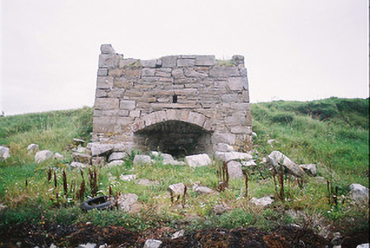 kilnkiln · 262 yd
 Oyster Island Lighthouselighthouse · 387 yd
 Enclosure in Oyster IslandEnclosure · 398 yd
 Waiting on ShoreMemorial · 437 yd
 Enclosure in Rosses UpperEnclosure · 561 yd
 Rosses Point BeachBeach / strand · 951 yd
 Coney IslandIsland · 1725 yd
 Doonanpatrick IslandIslet · 1.2 mi
 Drumcliff BayBay · 1.7 mi
 Maguins IslandIslet · 1.9 mi
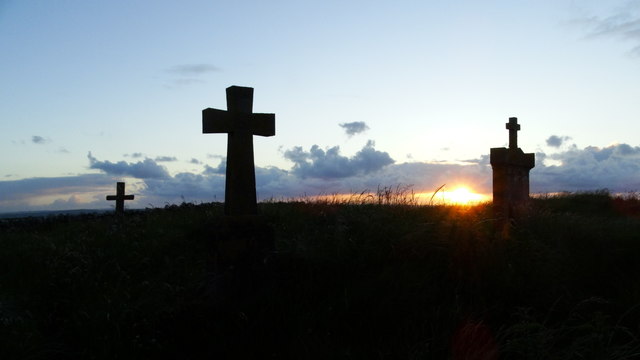 Graveyard in KillaspugbroneGraveyard · 2.0 mi
 Finned PointHeadland · 2.2 mi
Other information
Photo: Willie Duffin · CC BY-SA 2.0