What is recorded here
Situated on top of a slight rise, in gently undulating pasture. Small rectangular building shown standing in centre of ringfort on 1938 ed. OS 6-inch map. In N quadrant of ringfort (WM018-117----) are the remains of a subrectangular-shaped area (dims. 10m NW-SE; 8m NE-SW) defined by a very slight bank and abutting the inner edge of the scarp at NW. There is a shallow, oval-shaped depression (dims. 8.8m N-S; 4.4m E-W) abutting the inner edge of the scarp at N. A portion of a stone flag is visible on the surface to the immediate S. These two features may represent the remains of a house site.
Compiled by: Alison McQueen, Vera Rahilly and Caimin O’Brien
Date of upload: 11 February 2019
The monument record does not grant public access. Check the route and ask the landowner before entering private land.
- What survives
- Recorded monument
Places near here
 Partially hachuredFairy fort / earthen ringfort · 989 yd
 Enclosure in Walshestown SouthEnclosure · 1041 yd
 Strand Househouse · 1.0 mi
 Hopestown Church (in Ruins)Church · 1.1 mi
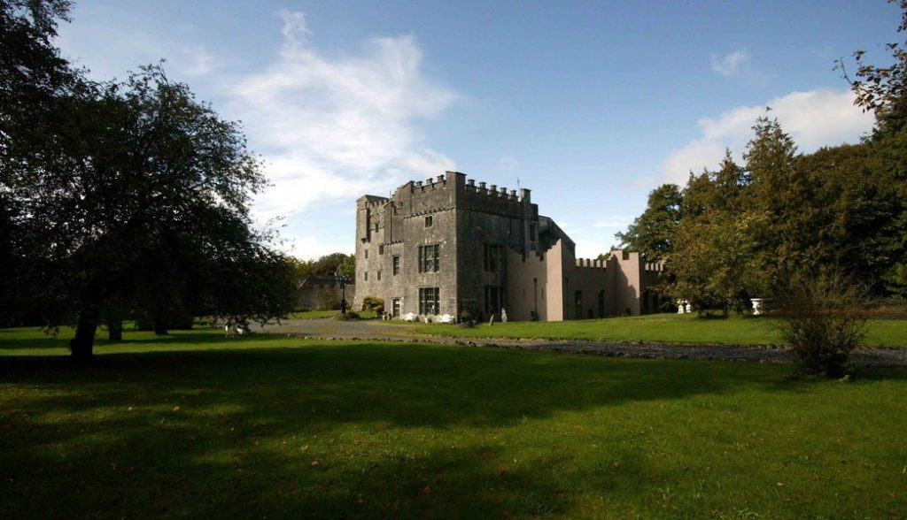 Castle (in Ruins)Castle, tower house · 1.3 mi
 CastlemitchelCastle, unclassified · 1.3 mi
 United Nations War MemorialMemorial · 1.9 mi
 Srudarra IslandIslet · 2.0 mi
 Lady's IslandWood · 2.1 mi
 Saint Brigid's WellSpring · 2.1 mi
 Carrickphilbin IslandIslet · 2.3 mi
 WestmeathVisitor information · 2.9 mi