What is recorded here
Situated on a small knoll (136m/445ft OD) on the northern shoulder of a very steep hill, in pasture. No antiquity depicted at this location on the 1837 OS 6-inch map. Depicted on the revised 1913 ed. OS 25-inch map as a roughly square-shaped tree-plantation. Described in 1983 as a roughly square-shaped area (dims. 34m E-W x 33m N-S) enclosed by an earth and stone bank (H 1m) that has been rebuilt as a stone faced wall at the NW corner. There are no indications of an external fosse. Square shaped enclosure attached by a linear bank (approx. L 22m; basal Wth 2m; H 1m) forming an avenue leading into a circular-shaped enclosure/tree ring to NE. Earthwork visible as a roughly square-shaped tree-plantation with tree-ring to NE on Digital Globe aerial photography. Probably the remains of a tree-plantation of post-1700 date forming part of the designed landscape belonging to Hallstown House located 710m SSE. Several other circular-shaped enclosures to the S and SE also appear to be the remains of tree-rings of post-1700 date.
Compiled by: Alison McQueen, Vera Rahilly and Caimin O’Brien
Date of upload: 24 December 2018
The monument record does not grant public access. Check the route and ask the landowner before entering private land.
- What survives
- Recorded monument
Places near here
 OutlinedHoly well · 191 yd
 Partially hachuredFairy fort / earthen ringfort · 542 yd
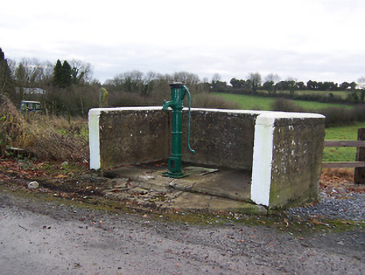 water pumpwater pump · 615 yd
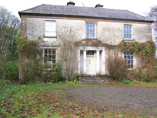 Halston Househouse · 827 yd
 Hachured, 420 ODCastle, motte · 1.1 mi
 Site of Doon CastleCastle, ringwork · 1.4 mi
 Hill of UisneachMountain / peak · 2.4 mi
 Ancient Ring FortWood · 3.0 mi
 Sessile OakSessile Oak · 3.2 mi
 Abbeyshrule AbbeyRuins · 5.0 mi
 Guest ServicesVisitor information · 5.2 mi
 Goldsmith Birthplace, PallasVisitor information · 5.7 mi