What is recorded here
On a low rise of ground in undulating pasture. Templeoran House located 600m to SW. Levelled church site (WM032-052----) standing inside a roughly D-shaped burial ground that is depicted as an earthwork on the 1837 ed. OS 6-inch map. The levelled church site was located at the N end of a D-shaped enclosure (dims. c. 46m N-S; 35m E-W) which is defined by a low scarp and a post-1700 field boundary which forms the straight side of the enclosure from E-S. No church depicted in Templeoran on the 1654 Down Survey map of the parish of Clonfad (NLI p7384). The Boyd Belvedere Maps of 1818 (WCL/M/BBE/4) located in Westmeath County Library annotates the area around the church (WM033-052----) as ‘Old Burial Ground’.
According to local information human bones are said to have been uncovered when a fosse or ditch on the E side of the enclosure was deepened (SMR File). No evidence of any grave markers inside the enclosure.
See attached word document for aerial photograph of church site and graveyard taken from bing maps at www.bing.com/maps
Compiled by: Caimin O'Brien
Date of upload: 16 July 2013
A Neolithic passage tomb; significant as part of a broader prehistoric funerary landscape associated with early farming communities in the region.
The monument record does not grant public access. Check the route and ask the landowner before entering private land.
- What survives
- Recorded monument
Places near here
 Partially hachuredFairy fort / earthen ringfort · 775 yd
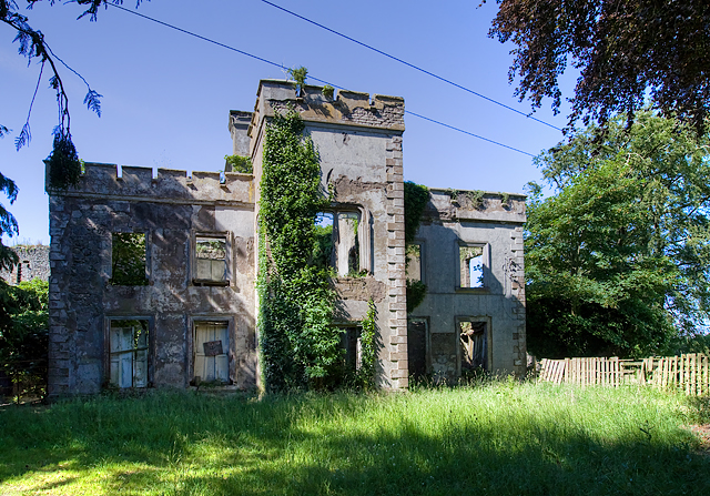 Newcastle Househouse · 901 yd
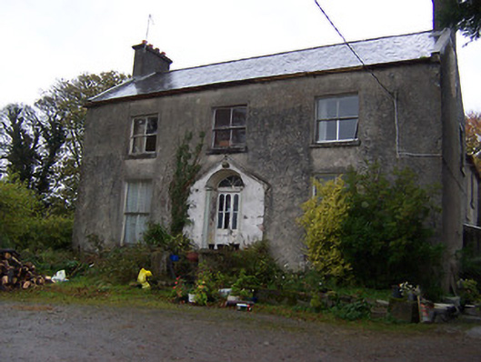 The Gleberectory/glebe/vicarage/curate's house · 911 yd
 CastleCastle, hall-house · 920 yd
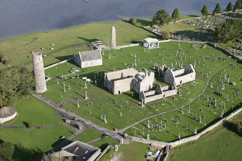 Ecclesiastical enclosure in Clonfad (fartullagh By.)Ecclesiastical enclosure · 1387 yd
 Tyrrellspass CastleCastle, tower house · 1.4 mi
 Ardan WoodWood · 4.1 mi
 Dysart IslandIsland · 4.5 mi
 Ash IslandIslet · 4.8 mi
 Bonfire HillMountain / peak · 4.9 mi
 Croghan HillMountain / peak · 5.8 mi
 Finnrenashark Holy WellSpring · 5.9 mi