
What is recorded here
On a low rise of ground in undulating pasture. Templeoran House located 600m to SW. Levelled church site (WM032-052----) standing inside a roughly D-shaped burial ground that is depicted as an earthwork on the 1837 ed. OS 6-inch map. The levelled church site was located at the N end of a D-shaped enclosure (dims. c.…
Read the whole record
From the National Monuments Service (Archaeological Survey of Ireland) record WM033-052001
Places near here
Photo credits
- Maker not stated on source page, tr.pinterest.com
- Mike Searle, Geograph · CC BY-SA 2.0
- National Inventory of Architectural Heritage
- Maker not stated on source page, commons.wikimedia.org
- Photographer not named on article, www.westmeathexaminer.ie
- Brian Shaw, Wikimedia Commons · CC BY-SA 2.0
- Maker not stated on source page, www.flickr.com
- Golfing in Ireland; photographer not stated, Source publisher
 Church (Site of)Church · 27 yd
Explorer Tom The Church in Templeoran North is basically a D-shaped burial ground with a little rectangular enclosure inside it…
 Newcastle HouseHouse · 901 yd
Explorer Tom Newcastle House in Newcastle had a bad poem written about it by someone who couldn’t rhyme 'stone' with 'bone'. It’s a…
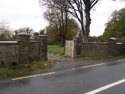 Guilford HouseDemesne walls/gates/railings · 905 yd
Explorer Tom Guilford House gates in Guilford or Davidstown are being constantly judged by the local rabbits, who think the ashlar…
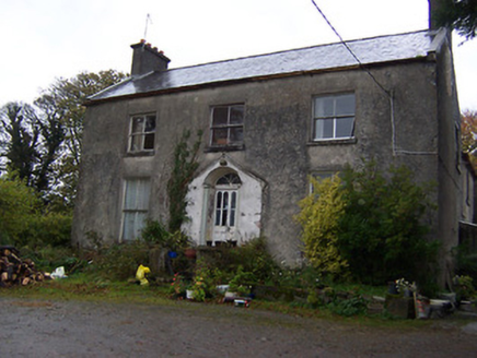 The GlebeRectory/glebe/vicarage/curate's house · 911 yd
Explorer Tom The Glebe in Ballybeg, County Westmeath has strong opinions about the road that leads to it and thinks it’s much too…
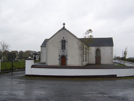 Catholic Church of the Sacred HeartChurch/chapel · 1227 yd
Explorer Tom Catholic Church of the Sacred Heart in Meedian steals medieval stone features when nobody’s looking, then acts like…
 Langan GraveyardGraveyard · 1347 yd
Explorer Tom Langan Graveyard in County Westmeath is where the first owner’s escape plan went gloriously wrong. He dug a tunnel…
 gates/railings/walls1676 yd
Explorer Tom Gates in Tyrrellspass are laughing at the map makers who got them completely wrong last century. They’re part of a…
 Tyrrellspass GAA pitchGAA ground · 1708 yd
 Earthwork in MeedianEarthwork · 1.1 mi
Explorer Tom Earthwork in Meedian makes a spooky scratching sound at night when the wind gets into its levelled mound. It might not…
 Tyrrellspass CastleCastle, tower house · 1.4 mi
Explorer Tom Tyrrellspass Castle makes a sound at night like a ghost clearing its throat before delivering bad news. It used to be a…
 Tyrrellspass CemeteryCemetery · 1.5 mi
Explorer Tom Tyrrellspass Cemetery is famous for a smuggling story where someone tried to hide a whole piano under a tarpaulin…
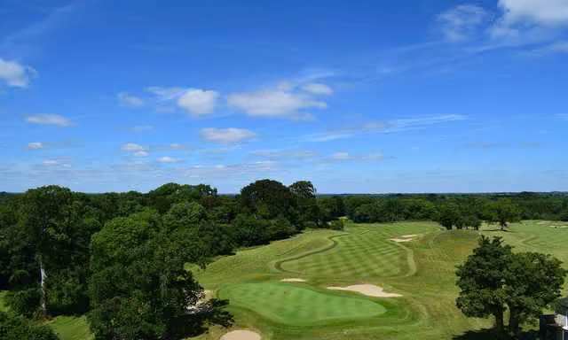 New Forest Golf ClubGolf course · 2.5 mi
More archaeology and monuments in County Westmeath · All of County Westmeath

What do you know about this place?Tap to add a comment or ask a question