What is recorded here
Half a mile outside Rathangan, a 19th-century Church of Ireland building stands in the west quadrant of the graveyard, probably on the footprint of the medieval church first named in 1297. A few metres east of its north-east angle, a punch-dressed corbel from that older church was set into the ground as a gravemarker, doing dead work for the living. The church had fallen into disrepair by 1744, when Robert, Earl of Kildare, left two hundred pounds for its rebuilding, and the graveyard has kept both churches company ever since.
19th century C of I church standing in W quadrant of graveyard probably located on site of medieval church (KD017-011003-). Punch-dressed stone corbel (KD017-011008-) from medieval church reused as gravemarker a few metres E of NE angle of C of I church. According to Bradley et al (1986 vol. 4, 417-8), the earliest reference to the church of Rathangan is in 1297 when its vicar, Richard, is mentioned. The church, dedicated to the Virgin Mary, was described in 1306 as a prebend of the diocese of Kildare. Historical references to its clergy indicate that it was in use throughout the Late Medieval period, but it had fallen into disrepair in 1744 when Robert, Earl of Kildare, left £200 in his will for rebuilding the church.
Compiled by: Caimin O'Brien
Date of upload: 3 March 2016
The monument record does not grant public access. Check the route and ask the landowner before entering private land.
- What survives
- Recorded monument
Places near here
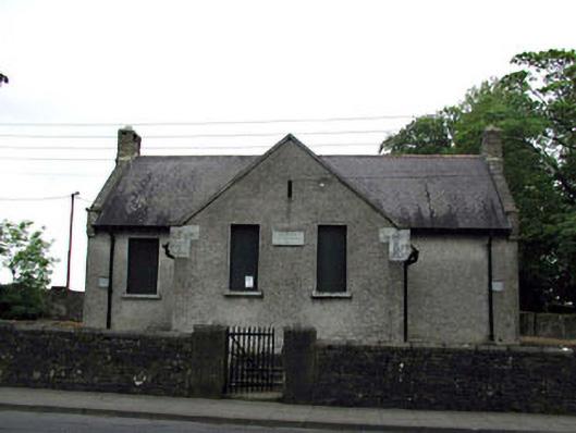 Rathangan National Schoolschool · 139 yd
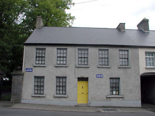 Old School Houseschool · 141 yd
 An Rath Ring FortArchaeological place · 160 yd
 Bithia Mary CrokerMemorial · 167 yd
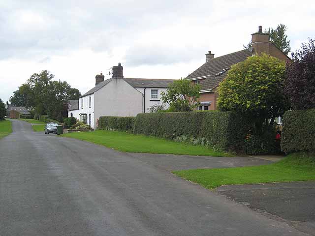 Enclosure in Newtown (killinthomas Ed)Enclosure · 463 yd
 Site of CastleCastle, tower house · 584 yd
 Community OrchardNature reserve · 734 yd
 Offaly CastleCastle, tower house · 1.2 mi
 Killinthomas Wood (Rathangan)Wood · 1.3 mi
 The Fairy BowerHeritage attraction · 3.8 mi
 Lullymore Heritage ParkHeritage attraction · 3.8 mi
 Sli na Slainte - mapVisitor information · 4.5 mi