What is recorded here
Situated on a slight natural rise. Annotated as a ‘fort’ on the 1837 OS Fair Plan map, and depicted as a small circular shaped earthwork/enclosure (approx. diam. 12m) on the 1837 ed. OS 6-inch map. No surface remains visible of levelled monument. Small size of enclosure might suggest that this was a possible ring-barrow rather than a ringfort.
Compiled by: Frank Coyne and Caimin O'Brien
Date of upload: 16 April 2017
A local ancient tomb; wider significance not recorded.
The monument record does not grant public access. Check the route and ask the landowner before entering private land.
- What survives
- Recorded monument
Places near here
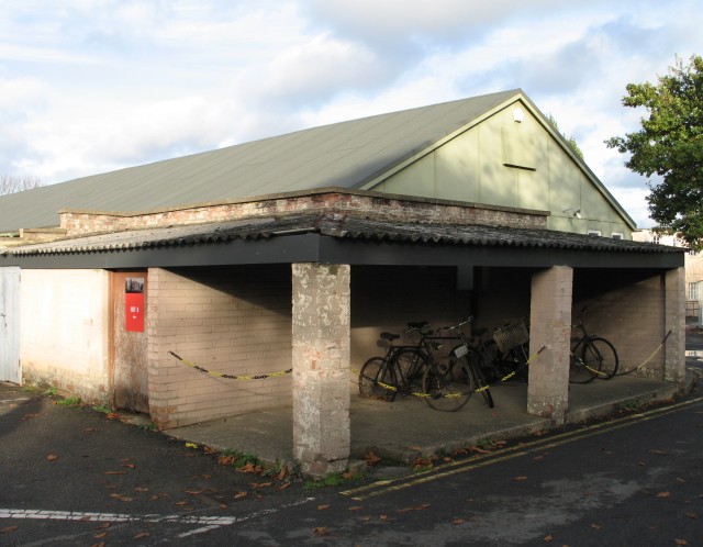 Hut site in FroghanstownHut site · 691 yd
 Partially hachuredFairy fort / earthen ringfort · 782 yd
 Chapel in ruinsChapel · 914 yd
 IndicatedQuarry · 1193 yd
 KnockeyonMountain / peak · 1336 yd
 Mortimer's CastleArchaeological place · 2.5 mi
 Bawn in KiltoomBawn · 2.9 mi
 European BeechEuropean Beech · 4.0 mi
 Silver FirSilver Fir · 4.0 mi
 South East GateHeritage attraction · 4.1 mi
 St Feichin's MillHeritage attraction · 4.2 mi
 Bridge Memorial (Kenna)Memorial · 4.4 mi