
What is recorded here
Situated on rushy grassland with good views of the surrounding countryside. An uneven sub-circular shaped raised area (approx. diam. 26m N-S; 29m E-W) defined by a scarp revetted with dry stone walling. Traces of cultivation ridges are visible running N-S across the interior of the monument. An oval shaped depression in the NW quadrant may be the remains of a house site (WM010-025001-).
See attached profile of monument surveyed and drawn by the ASI.
Compiled by: Frank Coyne and Caimin O'Brien
Date of upload: 9 June 2017
The monument record does not grant public access. Check the route and ask the landowner before entering private land.
- What survives
- Recorded monument
Places near here
 Partially hachuredFairy fort / earthen ringfort · 743 yd
 Site of CastleCastle, unclassified · 792 yd
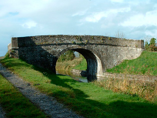 bridgebridge · 1214 yd
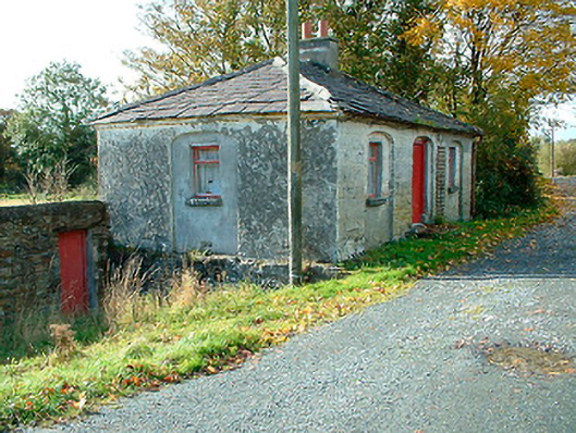 38th Locklock keeper's house · 1250 yd
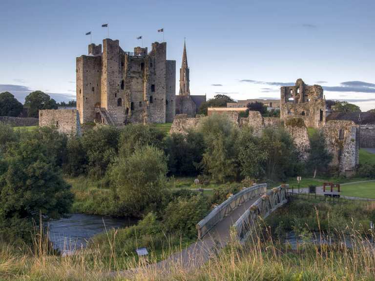 IndicatedFairy fort / earthen ringfort · 1684 yd
 Bawn in EmperBawn · 2.5 mi
 Common LimeCommon Lime · 2.8 mi
 Sessile OakSessile Oak · 2.9 mi
 Abbeyshrule AbbeyRuins · 2.9 mi
 Goldsmith Birthplace, PallasVisitor information · 4.8 mi
 Craft WorkshopHeritage attraction · 4.8 mi
 Guest ServicesVisitor information · 4.9 mi
Other information
Photo: Credit not shown in the picture search · Rights wording not checked; contact us if this picture should be removed