
What is recorded here
Outlined was a ringfort on rising ground in County Offaly, Ireland. It appeared as a raised circular platform on the 1838 map and remained outlined on the 1908 map before destruction removed every visible trace. The loss transforms the site into a hollow man, forcing imagination to complete what measurement refused to preserve.
Formerly situated on rising gound in an area of undulating countryside. Depicted as a raised circular platform on the 1838 edition of the OS 6-inch map and outlined as a circular feature on the 1908 ed. OS 6-inch map. Site was destroyed several years ago leaving no remains visible at ground level. An earlier report (SMR File 1977) described this monument as' an earthwork has been recently levelled. It appears to have been a ringfort approx. 25-30m in diameter. The interior was gently rounded'.
The above description is derived from the published 'Archaeological Inventory of County Offaly' (Dublin: Stationery Office, 1997). In certain instances the entries have been revised and updated in the light of recent research.
Compiled by Caimin O'Brien
Date of upload/revision: 19 December 2011
This remains an important historical record, but the official description says the monument is no longer visible or has been destroyed. The monument record does not grant public access. Check the route and ask the landowner before entering private land.
- What survives
- No visible remains or recorded as destroyed
Places near here
 IndicatedEnclosure · 536 yd
 KilnKiln, corn-drying · 848 yd
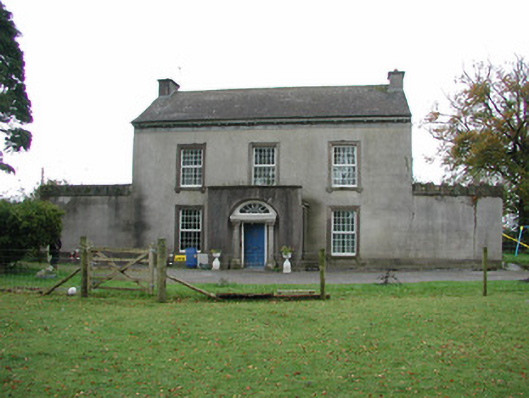 Springfield Househouse · 984 yd
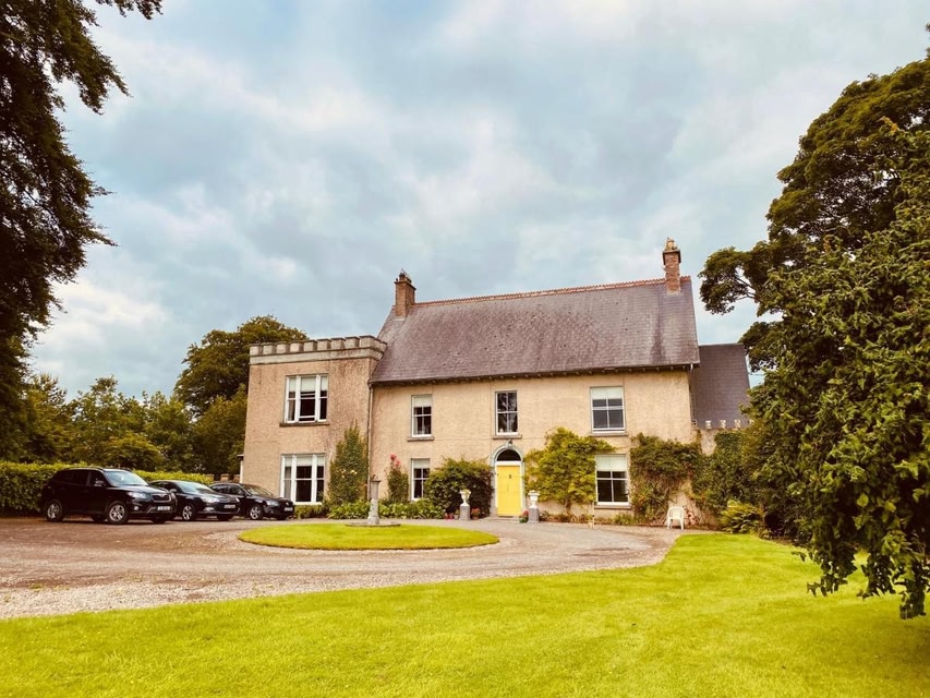 Partially indicatedEcclesiastical enclosure · 1252 yd
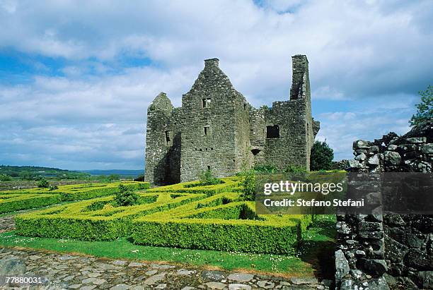 CastleCastle, unclassified · 1369 yd
 Partially hachuredBawn · 1.4 mi
 Kilmalady HillMountain / peak · 1.9 mi
 ToberaskeenSpring · 3.1 mi
 Roughan HillMountain / peak · 3.2 mi
 Chapel HillForest · 3.6 mi
 Charles BianconiMemorial · 4.5 mi
 The Bob Traynor GalleryGallery · 4.6 mi
Other information
Photo: Credit not shown in the picture search · Rights wording not checked; contact us if this picture should be removed