
What is recorded here
Indicated is a scarped ridge on reclaimed Offaly land, so small it may be nothing but an esker wearing a human shape. The 1840 survey doubted it, yet doubt itself is a kind of boundary. Walk its twelve metres at dusk and the ridge returns the stare,neither fortress nor fantasy but a line drawn by water and remembered by men.
This is the site of a natural ridge which appears to have been scarped on the eastern side. This ridge is located on reclaimed land in an area full of natural eskers.
It is possible that this is a natural feature of no archaeological significance due to
its location and shape. The ridge only measures 12m wide which is too small for a ringfort. Indicated as a possible earthwork on the 1840 ed. OS 6-inch map.
Compiled by: Caimin O'Brien
Date of upload: 23 May 2011
The monument record does not grant public access. Check the route and ask the landowner before entering private land.
- What survives
- Recorded monument
Places near here
 OutlinedFairy fort / ringfort · 536 yd
 KilnKiln, corn-drying · 580 yd
 Burnt spread in RussaghBurnt spread · 731 yd
 Temple Housedemesne walls/gates/railings · 1135 yd
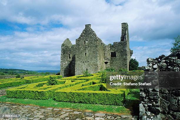 CastleCastle, unclassified · 1241 yd
 Hachured, Wall, HorseleapCastle, motte and bailey · 1.2 mi
 Kilmalady HillMountain / peak · 1.6 mi
 ToberaskeenSpring · 3.1 mi
 Roughan HillMountain / peak · 3.2 mi
 Chapel HillForest · 3.4 mi
 Charles BianconiMemorial · 4.7 mi
 The Bob Traynor GalleryGallery · 4.8 mi
Other information
Photo: Credit not shown in the picture search · Rights wording not checked; contact us if this picture should be removed