What is recorded here
In pasture, on slight SE facing slope. All that survives of this levelled earthwork (diam. c. 10m N-S x 20m E-W) is a kink in the field boundary which appears to follow the line of the enclosing element of the earthwork at W. Area of rough ground to E of field boundary marks site of levelled earthwork. Curving field boundary to W has been levelled in recent times and is no longer visible on Google Earth orthoimages. Depicted as a tree-ring and not as a ringfort on 1840 ed. OSi 6-inch map.
See attached sketch plan and Google Earth orthoimages
Compiled by: Caimin O'Brien
Date of upload: 26 October 2021
The monument record does not grant public access. Check the route and ask the landowner before entering private land.
- What survives
- Recorded monument
Places near here
 Furnace in KnockcommaneFurnace · 762 yd
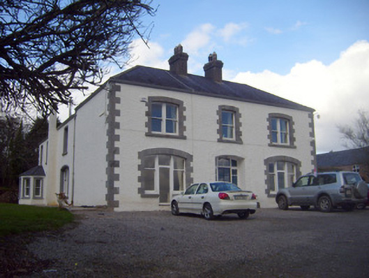 Loughananna Househouse, gate lodge · 783 yd
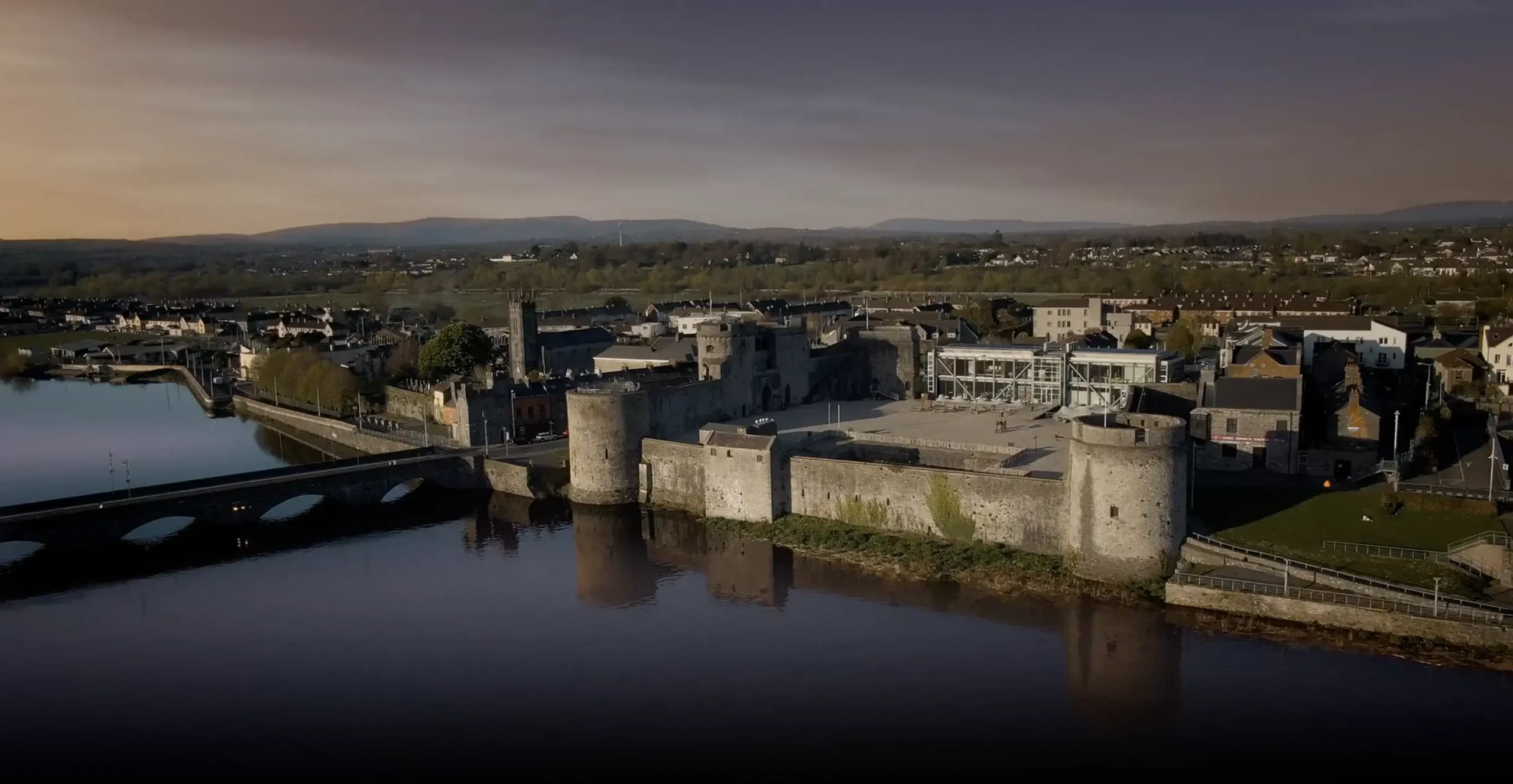 Fulacht fia in BrackbaunFulacht fia · 981 yd
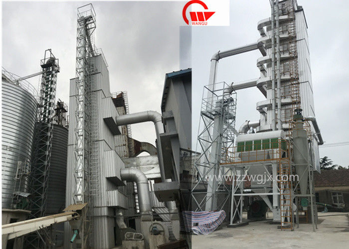 KilnKiln, corn-drying · 982 yd
 Kilbeheny Castle (in ruins)Castle, tower house · 1.7 mi
 Coopers WoodWood · 1.9 mi
 Seefin North TopMountain / peak · 2.4 mi
 Eagles StepCliff · 2.8 mi
 CastleCastle, ringwork · 2.8 mi
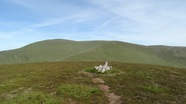 MonabrackMountain / peak · 3.3 mi
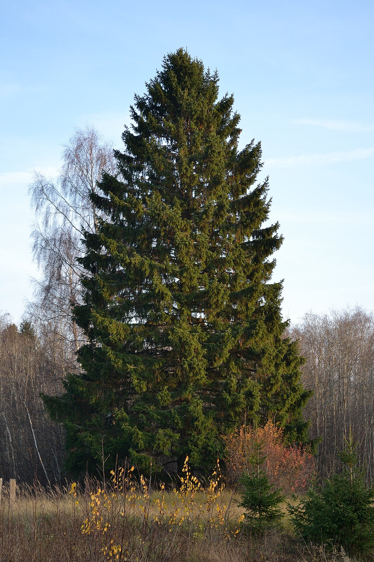 Norway SpruceNorway Spruce · 3.5 mi
 Aircraft Memorial 1976Memorial · 3.5 mi