What is recorded here
This site was identified during Phase II test excavation of the N8 Cashel to Mitchelstown road improvement scheme carried out by Margaret Gowen & Co. Ltd in May 2006. The site was subsequently excavated [A035/000, E2306] between 24 June and 4 July 2006. It consisted of a burnt mound, whose area measured 17.5m (north-south) by 12m, located on the northern bank of a stream. The burnt mound sealed a trough, which had traces of a stone lining, concentrated mainly along the edges. This site was located 150m downstream of Site 4602A2 (see No. 1244 below), a burnt mound, and 600m downslope from Site 47001A, a ring-ditch site (see No. 1282 below, E2341) (McQuade, Molloy & Moriarty 2009, 115-8).
The monument record does not grant public access. Check the route and ask the landowner before entering private land.
- What survives
- Recorded monument
Places near here
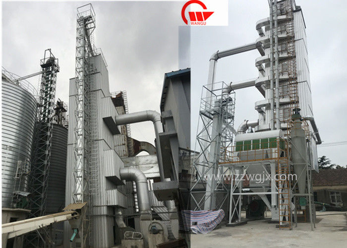 KilnKiln, corn-drying · 201 yd
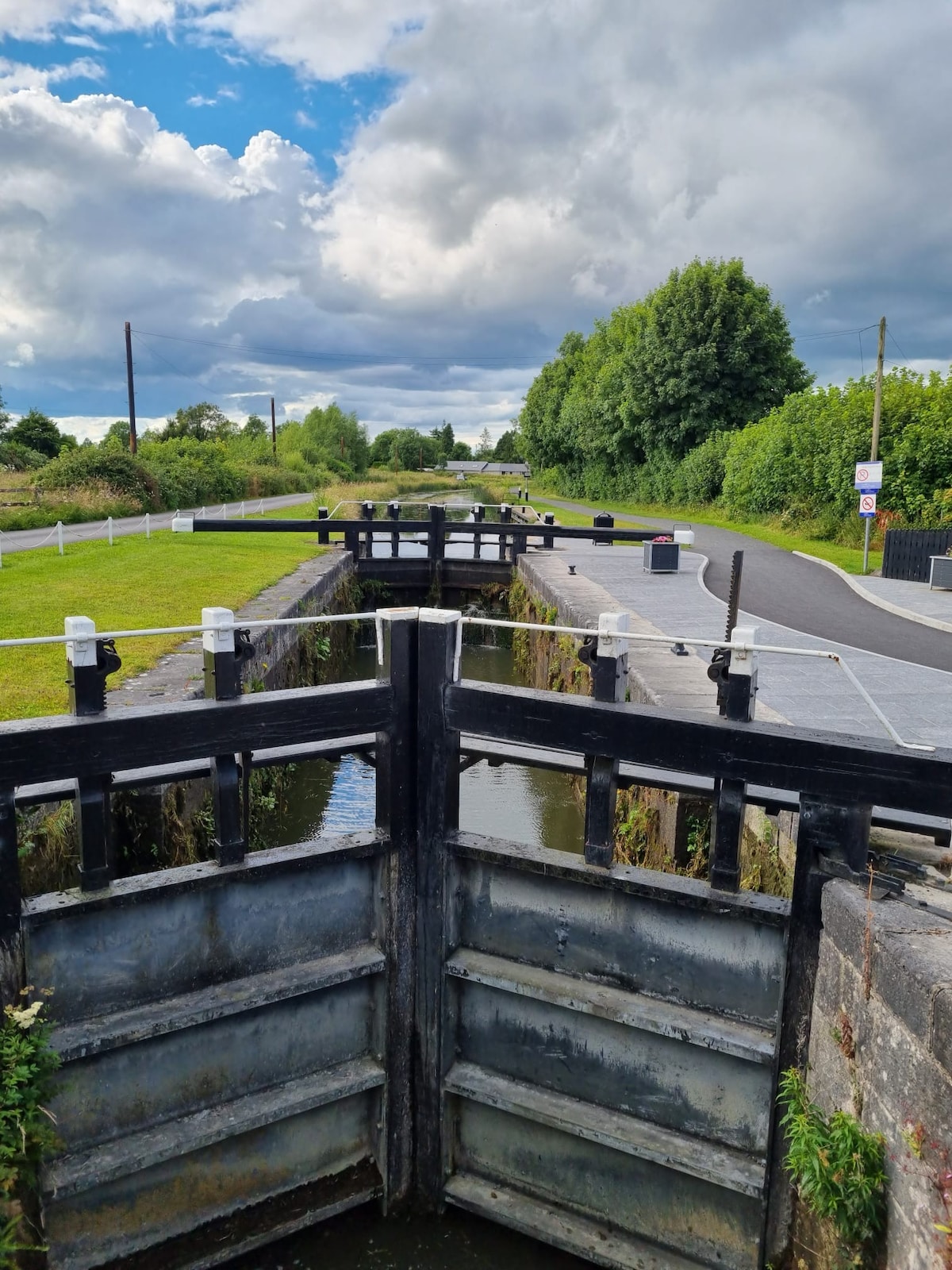 BarrowBarrow, ditch barrow · 493 yd
 Furnace in KnockcommaneFurnace · 760 yd
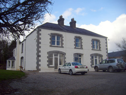 Loughananna Househouse, gate lodge · 1447 yd
 Coopers WoodWood · 2.1 mi
 Kilbeheny Castle (in ruins)Castle, tower house · 2.2 mi
 CastleCastle, ringwork · 2.4 mi
 Seefin North TopMountain / peak · 2.5 mi
 Mitchelstown CaveCave · 2.6 mi
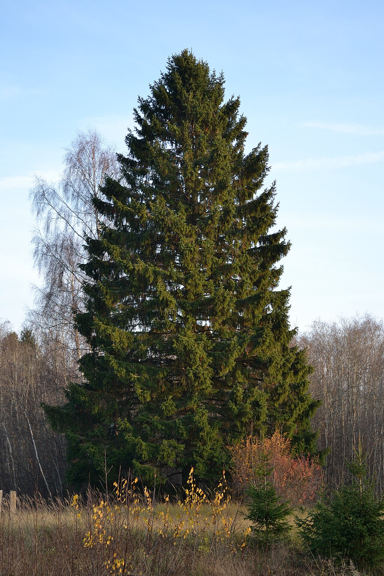 Norway SpruceNorway Spruce · 3.1 mi
 Eagles StepCliff · 3.2 mi
 Aircraft Memorial 1976Memorial · 3.5 mi
Other information
Photo: Credit not shown in the picture search · Rights wording not checked; contact us if this picture should be removed