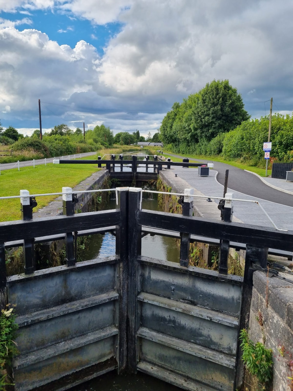
What is recorded here
In pasture, on crest of low gentle rise with good views from NW-NE. Remains consist of a slightly sunken circular-shaped area (diam. 10m) defined by a scarp with shallow fosse (Wth 2.3m; ext. D 0.2m). Interior level, dry and clear of overgrowth. Faint cropmark of ditch-barrow visible on Google Earth orthoimage taken 18/11/2018.
See attached sketch plan and Google Earth orthoimages
Compiled by: Caimin O'Brien
Date of upload: 27 October 2021
Ditch barrow, likely dating to the Early Bronze Age. Its earthwork features suggest a funerary or ceremonial function, typical of burial monuments from this period in Ireland.
The monument record does not grant public access. Check the route and ask the landowner before entering private land.
- What survives
- Recorded monument
Places near here
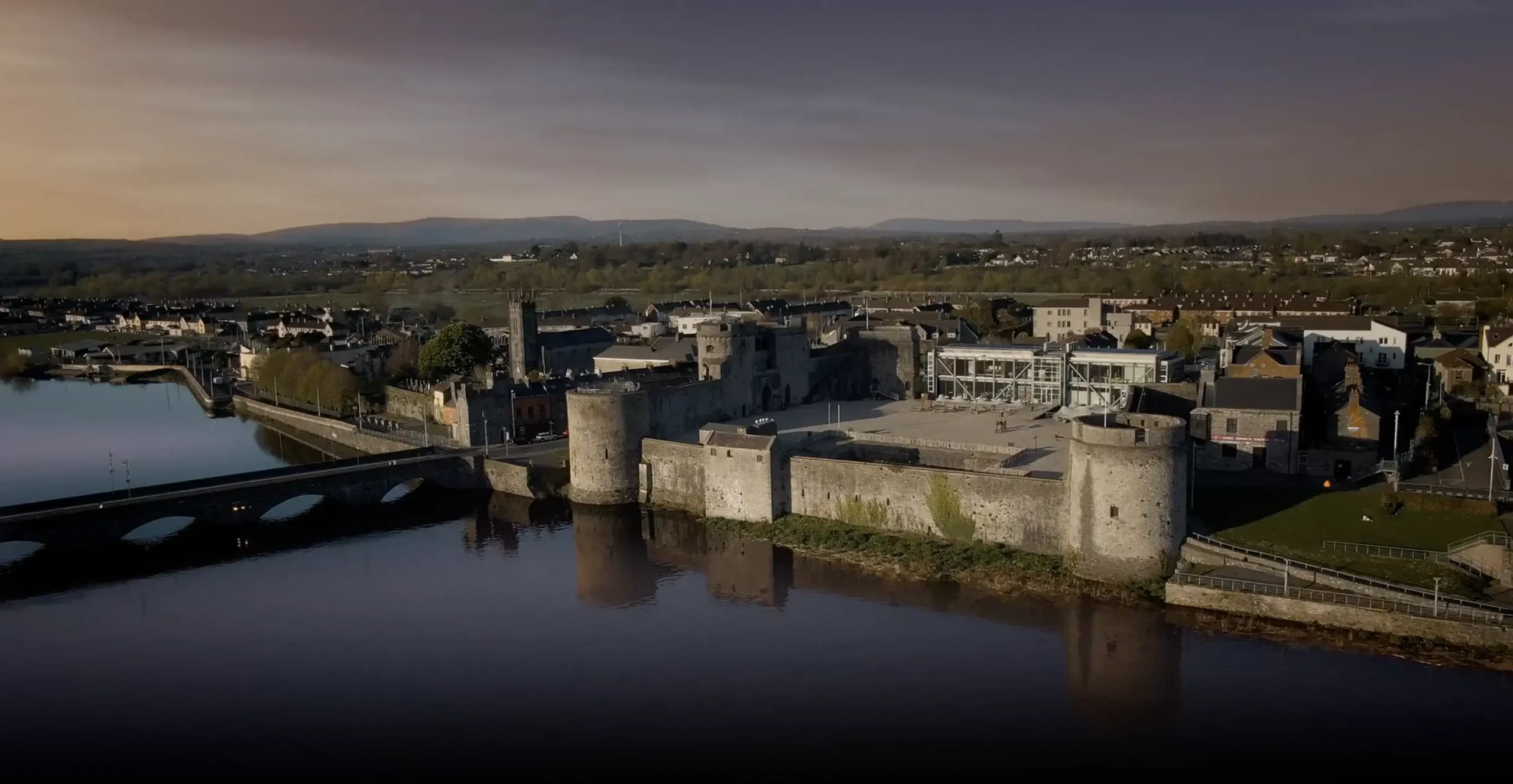 Fulacht fia in BrackbaunFulacht fia · 493 yd
 Furnace in KnockcommaneFurnace · 510 yd
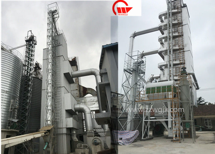 KilnKiln, corn-drying · 693 yd
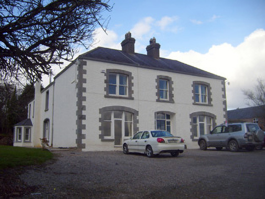 Loughananna Househouse, gate lodge · 1759 yd
 Kilbeheny Castle (in ruins)Castle, tower house · 2.2 mi
 CastleCastle, ringwork · 2.2 mi
 Coopers WoodWood · 2.4 mi
 Mitchelstown CaveCave · 2.7 mi
 Seefin North TopMountain / peak · 2.7 mi
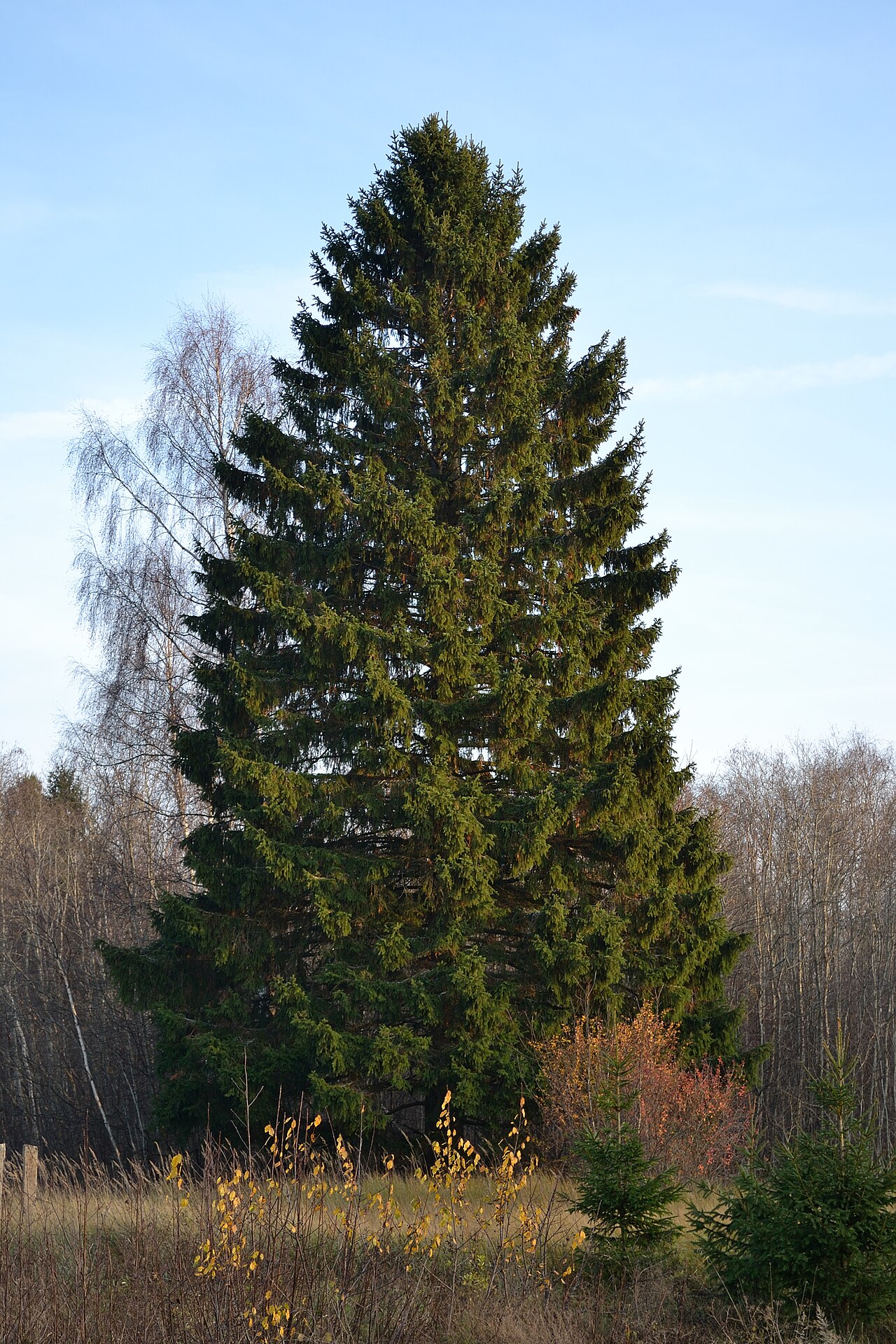 Norway SpruceNorway Spruce · 3.3 mi
 Eagles StepCliff · 3.4 mi
 Curraleigh MountainMountain / peak · 3.6 mi
Other information
Photo: Credit not shown in the picture search · Rights wording not checked; contact us if this picture should be removed