What is recorded here
This site was excavated under Ministerial Directive A035/00 in advance of the N8 road improvement between Cashel, Co. Tipperary, and Mitchelstown, Co. Cork. It was located 75m to the west of a Bronze Age cremation burial (see No. 1243 above, E2338) and c. 135m west of an area of burning (see No. 1245 below, E2340). The area of excavation measured 60m by 20m. The site consisted of a large fulacht fiadh and two smaller spreads of burnt-mound material and a kiln.
A kiln was located 20m north of the fulacht fiadh. It was subrectangular in plan and measured 2.74m by 0.9m. The fire bowl was located in its northern end and was 1.02m deep. The kiln was probably used for drying cereal crops. The results of specialist analysis of material recovered during excavation are awaited.
The monument record does not grant public access. Check the route and ask the landowner before entering private land.
- What survives
- Recorded monument
Places near here
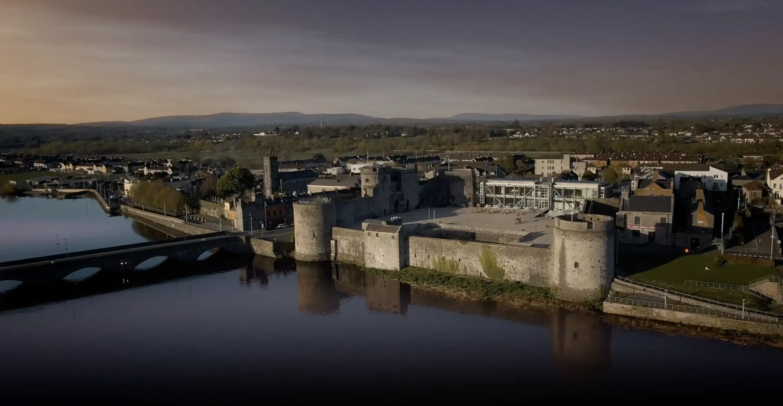 Fulacht fia in BrackbaunFulacht fia · 201 yd
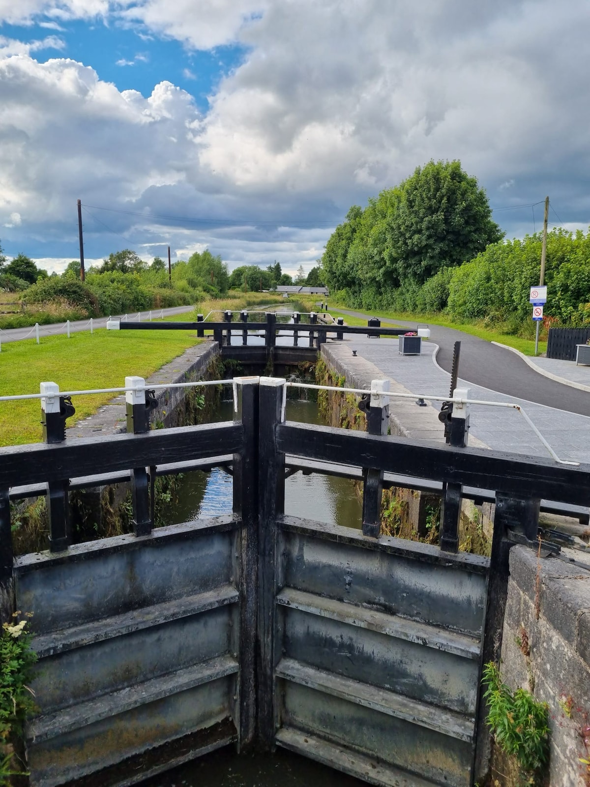 BarrowBarrow, ditch barrow · 693 yd
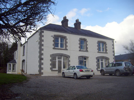 Loughananna Househouse, gate lodge · 1338 yd
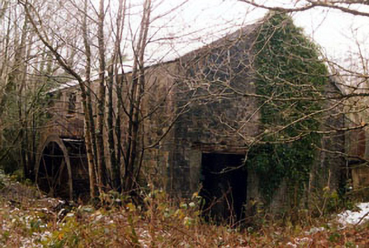 Galty Castlemill (water) · 1529 yd
 Coopers WoodWood · 2.0 mi
 Kilbeheny Castle (in ruins)Castle, tower house · 2.3 mi
 Seefin North TopMountain / peak · 2.3 mi
 CastleCastle, ringwork · 2.5 mi
 Mitchelstown CaveCave · 2.6 mi
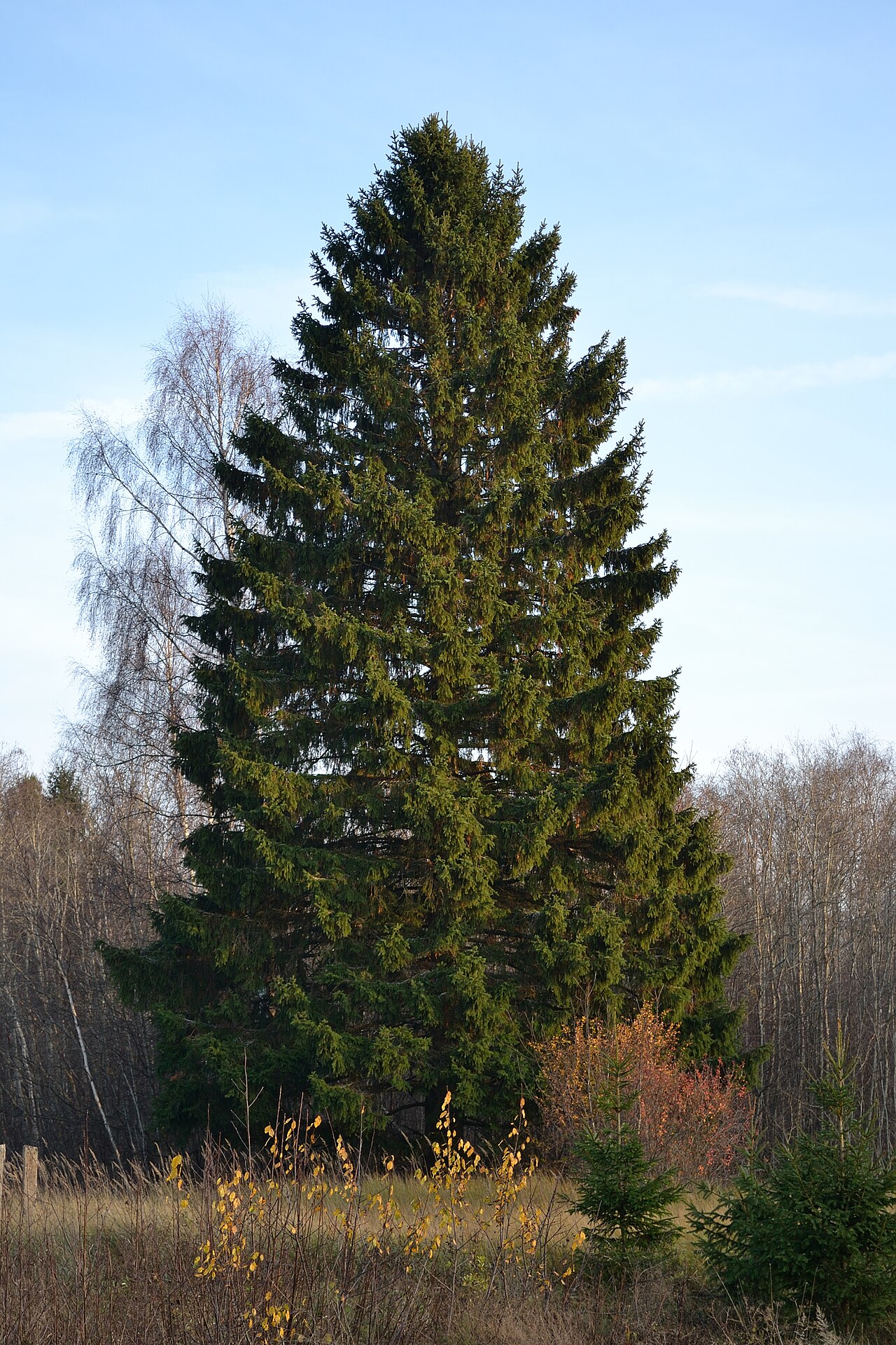 Norway SpruceNorway Spruce · 3.0 mi
 Eagles StepCliff · 3.1 mi
 Aircraft Memorial 1976Memorial · 3.4 mi
Other information
Photo: Credit not shown in the picture search · Rights wording not checked; contact us if this picture should be removed