What is recorded here
Standing on the NW side of Lough Ennell 130m E of the original shoreline with Ladestown. Listed as Shaunoge Shallows and described by O'Sullivan (2004, 105) as 'Located on northwest side of lake, c.60m from the natural islands off the original shore of Ladestown townland, 130m to the original shoreline . Present remains consist of a small, rocky, oval islet (approx. dims. 25m N-S x 20m E-W; H 3.5m) located in open, shallow water (c. 1m depth). It is clearly marked as a small, circular island on OS maps. It is heavily overgrown by trees and has been enlarged by the post 1950s drop in water levels. This may be a crannog, but this cannot be ascertained'.
Compiled by: Caimin O'Brien
Date of upload: 15 February 2017
The monument record does not grant public access. Check the route and ask the landowner before entering private land.
- What survives
- Recorded monument
Places near here
 Ladestown Ho.House, fortified house · 947 yd
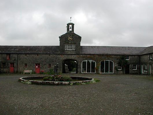 Ladestown Housestables, farmyard complex · 970 yd
 Ice HouseRuins · 1585 yd
 Partially hachuredFairy fort / ringfort · 1.0 mi
 Belvedere house and gardensVisitor information · 1.0 mi
 Blind IslandIslet · 1.0 mi
 Enclosure in LynnEnclosure · 1.2 mi
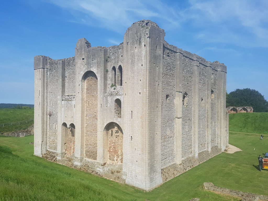 CastleCastle, unclassified · 1.2 mi
 Mollie Moo's Pet FarmHeritage attraction · 1.4 mi
 Ash IslandIslet · 1.5 mi
 Ancient Ring FortWood · 4.1 mi
 WestmeathVisitor information · 4.7 mi