What is recorded here
Located on high ground with extensive views of undulating countryside. Depicted as a rectangular church (OF002-030001-) standing in the centre of an oval-shaped shaped graveyard (OF002-030002-) on the 1838 ed. OS 6-inch map. On this map the curve of the public road immediately to the E and S of the graveyard probably follows the line of a possible Early Christian enclosure. The graveyard is enclosed by a post-medieval stone wall from S through E to NE only and elsewhere by a low earth and stone bank mainly reduced to a scarp with remains of an external fosse best visible on W side. This curving bank and external fosse visible at W may be the remains of an Early Christian ecclesiastical enclosure. The townland and parish name of Kilmanaghan [Cill Mhancháin] meaning church of Manchán, may be a reference to a possible monastic foundation associated with Saint Manchán of Lemanaghan (OF015-004003-) whose feastday is celebrated on 24th January (Ó Riain 2011, 429). Early Christian cross-inscribed slab (OF002-030003-) along with possible bullaun stone (OF002-030004-) found here during a clean up of the graveyard in 1971 (Fanning and Ó hÉailidhe 1980, 13).
The above description is derived from the published 'Archaeological Inventory of County Offaly' (Dublin: Stationery Office, 1997). In certain instances the entries have been revised and updated in the light of recent research.
Compiled and revised by: Caimin O'Brien
Date of revision: 26 September 2014
The monument record does not grant public access. Check the route and ask the landowner before entering private land.
- What survives
- Recorded monument
Places near here
 Church (in Ruins), Grave YardChurch · 22 yd
 Roughan HillMountain / peak · 493 yd
 Enclosure in KilmanaghanEnclosure · 493 yd
 ToberaskeenSpring · 608 yd
 Gorteen CastleCastle, unclassified · 752 yd
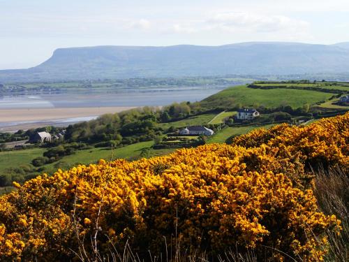 Enclosure in Gorteen (kilcoursey By.)Enclosure · 1330 yd
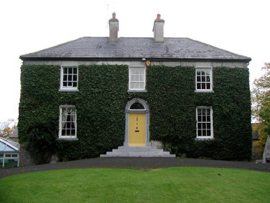 Tober Househouse · 1420 yd
 Moyally Castle (in Ruins)Bawn · 2.0 mi
 Inchaloon IslandIslet · 2.4 mi
 Chapel HillForest · 2.4 mi
 Kilmalady HillMountain / peak · 2.8 mi
 Clara Bog BoardwalkHeritage attraction · 3.1 mi