
What is recorded here
Described by Ó Muirgheasa in 1936 as 'Proceeding westwards from Killybegs, the first townland met with in Kilcar parish is Kill. Here on the slope, of the rugged hill north of the road was a Holy Well, now almost closed up. Some 20 or 30 yards lower down was an old graveyard (DG097-013002-), the site, no doubt, of the cill or church. When the plot was cultivated many years ago bones were dug up on the spot. No saint's name is remembered in connection with well or church, nor do the oldest people about remember having seen stations performed there. But the name of the townland indubitably attests the former existence of a church there, while the tradition of the Holy Well, and the contiguity of the latter to the site of the old graveyard, constitute a chain of circumstantial evidence sufficient to satisfy all reasonable requirements'(Ó Muirgheasa 1936, 146). (Ó Muirgheasa No. 18)
Compiled by Caimin O'Brien
Date of upload/revision: 03 November 2011
The holy well at Kill in Kilcar parish was associated with local Christian tradition and pilgrimage, though specific saints or cures linked to the site are not recorded. Described in 1936 as nearly closed, it reflects the broader pattern of many Irish holy wells tied to early medieval religious practices.
The monument record does not grant public access. Check the route and ask the landowner before entering private land.
- What survives
- Recorded monument
Places near here
 Largysillagh EnclosureEnclosure · 771 yd
 Largy FortEnclosure · 816 yd
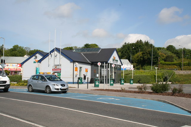 Penitential station in ShalwyPenitential station · 1438 yd
 Droichead Cró na Saileachbridge · 1.2 mi
 CastleCastle, unclassified · 1.3 mi
 FintraOfficial bathing water · 1.4 mi
 CrownaradMountain / peak · 1.9 mi
 Drumanoo HeadHeadland · 2.4 mi
 CroaghmuckrosMountain / peak · 2.5 mi
 TrabaneBeach / strand · 2.5 mi
 Cat CastleCastle, tower house · 3.2 mi
 Rashenny PointHeadland · 3.4 mi
Other information
Photo: Credit not shown in the picture search · Rights wording not checked; contact us if this picture should be removed