What is recorded here
Poorly preserved possible ringfort in low lying area and partly built on by farm sheds. Circular area (int. dims. 30m N-S) defined by low earthen bank or scarp and shallow external fosse. Described in 1977 as, 'a poorly preserved circular ringfort. The earthwork is outlined on east by slight remains of a low bank of earth with a shallow fosse outside it. On south there is a low scarp with a modern drain beyond it, while on west there is a very low broken down scarp. On the northern side the earthwork is bounded by a low bank & fosse which form part of the field boundary. The interior of the site is fairly even & is featureless. The diam.[eter] of the interior is approx. 30m north-south. This earthwork is in fairly flat pasture land, moderately drained' (ASI file 1977). Depicted as a tree-ring and not as an antiquity on the 1838 ed. of the OS 6-inch map and on the revised 1908 ed. OS 6-inch map as a circular grove of trees. The site is located 450m N of Kilduff House and may have been built as a tree-ring forming part of the landscaping of the land around Kilduff House. On the 1838 ed. OS 6-inch map the site appears to be a tree-ring forming part of the landscaped lands of Kilduff House. It is possible that this was originally a ringfort that was re-used as a tree-ring or alternatively that this feature was constructed in the 18th/19th century as a tree-ring. In 2002 archaeological testing was carried out by John Purcell under licence no. 02E1182 as part of the planning schedule for a single-house development near an earthwork (OF010-009----). Four trenches were excavated by mechanical digger. No features or finds of archaeological significance were revealed.
Poorly preserved possible ringfort in low lying area and partly built on by farm sheds. Circular area (int. dims. 30m N-S) defined by low earthen bank or scarp and shallow external fosse. Described in 1977 as, 'a poorly preserved circular ringfort. The earthwork is outlined on east by slight remains of a low bank of earth with a shallow fosse outside it. On south there is a low scarp with a modern drain beyond…
From the National Monuments Service (Archaeological Survey of Ireland) record OF010-009
The monument record does not grant public access. Check the route and ask the landowner before entering private land.
- What survives
- Recorded monument
Places near here
Photo credits
- National Inventory of Architectural Heritage
- Sarah777 at en.wikipedia, Wikimedia Commons · Public domain
- Kenneth Gallery Smyth, Geograph · Creative Commons Attribution-ShareAlike 2.0
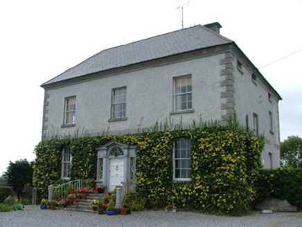 Kilduff HouseCountry house · 555 ydEnclosure in CloneenEnclosure · 1701 ydOConor Falys or Croghan Castle (in ruins)House, fortified house · 1.1 miCastleCastle, unclassified · 1.5 miFinnrenashark Holy WellSpring · 1.6 mi
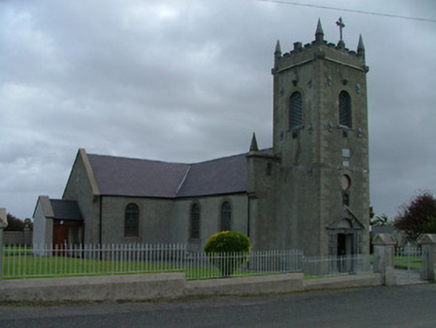 Catholic Church of Saint Peter and Saint PaulChurch/chapel · 1.7 miCroghan Hill WalkVisitor information · 1.8 mi
 Croghan HillMountain / peak · 1.8 miCroghan Hill WalkWalking route · 1.8 miCruil HillMountain / peak · 2.2 miSaint Clavin's WellSpring · 2.3 mi
 Downan Grave YardGraveyard · 5.9 mi
More archaeology and monuments in County Offaly · All of County Offaly
What do you know about this place?