What is recorded here
On the demesne lands of Kilballyowen House and castle site (LI032-124----) 500m to NW, 200m N of a townland boundary with Baggotstown. Burial ground (LI040-009----) lies 350m to SW. Depicted as a woodland plantation on the 1840 ed. OSi 6-inch and not depicted as an antiquity. Only the E half of the woodland plantation is depicted on the 1897 ed. OSi 25-inch map where it has been bisected by a field drain. Woodland plantation is visible as a roughly oblong-shaped area of a wood-covered area across the E portion and by a cropmark defining the W portion, as seen on Google Earth orthoimage taken 05/04/2006. The curving cropmark of the woodland plantation boundary is visible on aerial images. Not an antiquity, woodland plantation associated with the landscaped demesne of Kilballyowen House.
See attached Google Earth orthoimage
Compiled by: Alison McQueen and Vera Rahilly
Date of upload: 27 November 2020
The monument record does not grant public access. Check the route and ask the landowner before entering private land.
- What survives
- Recorded monument
Places near here
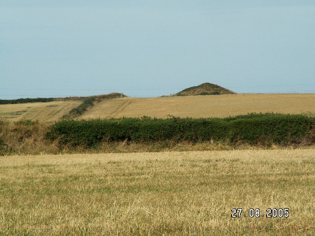 Burial mound in BaggotstownBurial mound · 407 yd
 Kilballyowen HouseCastle, unclassified · 613 yd
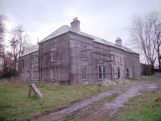 Baggotstown Housecountry house · 655 yd
 Ballyvulhane Bridgebridge · 826 yd
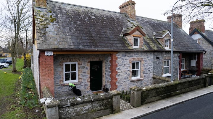 Enclosure in BaggotstownEnclosure · 952 yd
 Glen BogForest · 1.2 mi
 KnockainyMountain / peak · 1.3 mi
 Ballygrennan Castle (in ruins)Castle, tower house · 1.5 mi
 Flat cemetery in Knockainy WestFlat cemetery · 2.1 mi
 St Patrick's WellSpring · 5.2 mi
 Kilteely HillMountain / peak · 5.4 mi
 St. Patrick's WellSpring · 5.7 mi