What is recorded here
On the demesne lands of Kilballyowen House and castle site (LI032-124----) 500m to NW, 200m N of a townland boundary with Baggotstown. Burial ground (LI040-009----) lies 350m to SW. Depicted as a woodland plantation (133m NE-SW; 58m NW-SE) on the 1840 ed. OSi 6-inch and not depicted as an antiquity. Only the E half of the woodland plantation is depicted on the 1897 ed. OSi 25-inch map where it has been bisected by a field drain. Woodland plantation is visible as a roughly oblong-shaped area (140m NE-SW; 65m NW-SE) of a wood-covered area across the E portion and by a cropmark defining the W portion, as seen on Google Earth orthoimage taken 05/04/2006.
See attached Google Earth orthoimage
Compiled by: Alison McQueen and Vera Rahilly
Date of upload: 27 November 2020
The monument record does not grant public access. Check the route and ask the landowner before entering private land.
- What survives
- Recorded monument
Places near here
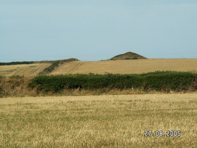 Burial mound in BaggotstownBurial mound · 474 yd
 Kilballyowen HouseCastle, unclassified · 583 yd
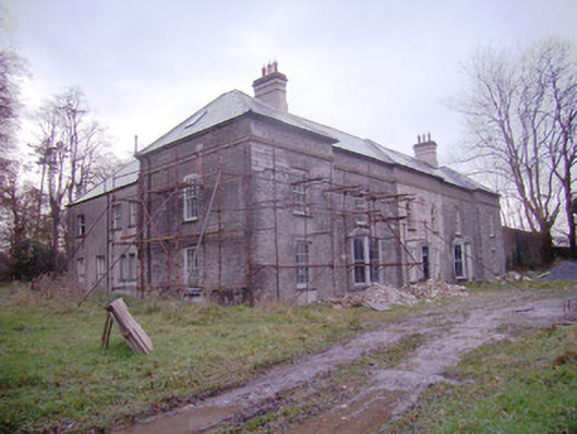 Baggotstown Housecountry house · 702 yd
 Ballyvulhane Bridgebridge · 909 yd
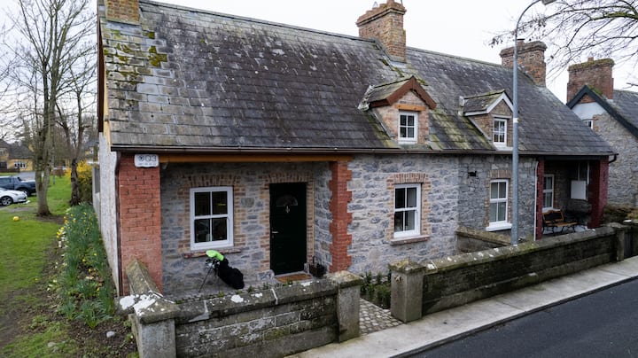 Enclosure in BaggotstownEnclosure · 913 yd
 Glen BogForest · 1.2 mi
 KnockainyMountain / peak · 1.2 mi
 Knockainy Castle (in ruins)Castle, tower house · 1.5 mi
 Flat cemetery in Knockainy WestFlat cemetery · 2.1 mi
 St Patrick's WellSpring · 5.2 mi
 Kilteely HillMountain / peak · 5.3 mi
 St. Patrick's WellSpring · 5.7 mi