What is recorded here
Situated at NE end of Lough Iron 50m W of the E shoreline but now on reclaimed land due to the Inny River drainage scheme of the late 1960s. Crannóg (WM011-166----) 40m to N. Tree-covered island the surface of which is covered with large rock outcrop with possible conjoined crannóg to N connected via a stone lined causeway.
Compiled by: Caimin O'Brien
Date of upload: 20 July 2017
The monument record does not grant public access. Check the route and ask the landowner before entering private land.
- What survives
- Recorded monument
Places near here
 CastleCastle, unclassified · 707 yd
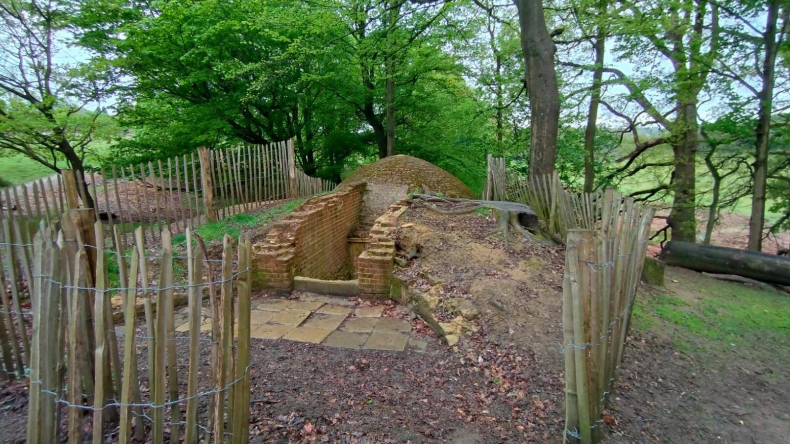 Icehouse in Baronstown DemesneIcehouse · 1315 yd
 Crannog in Cullenhugh,lough IronCrannog · 1367 yd
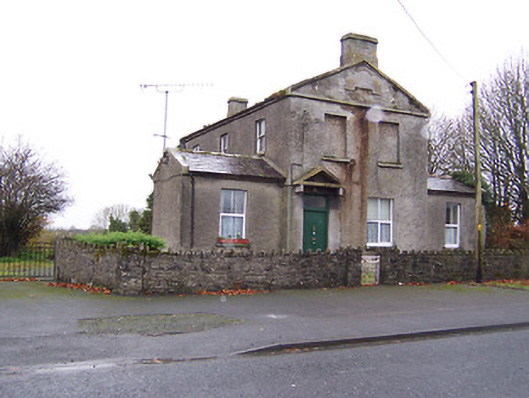 RIC barracksRIC barracks · 1656 yd
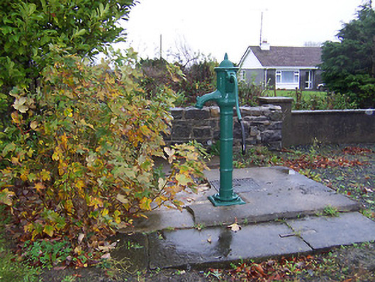 water pumpwater pump · 1688 yd
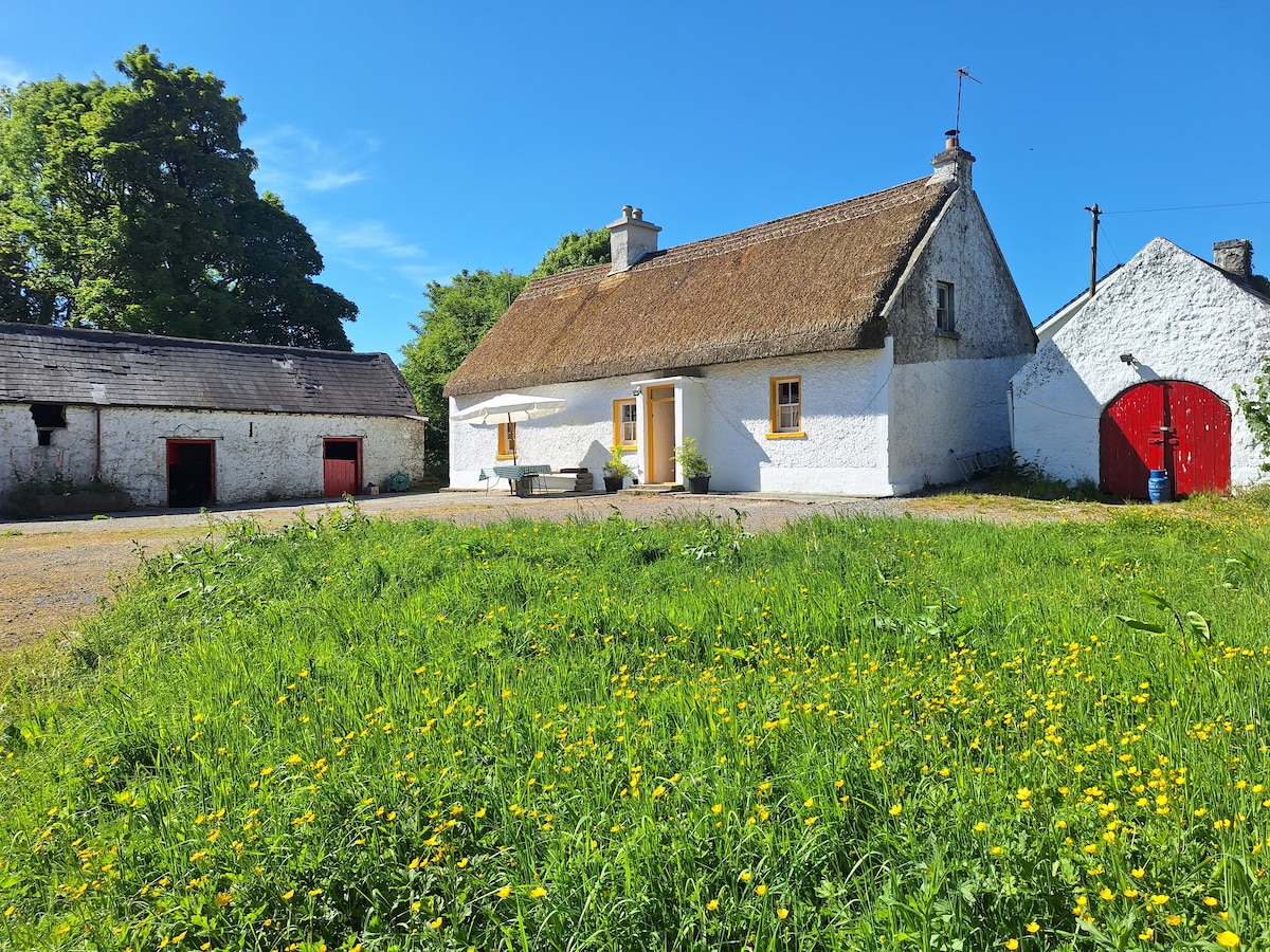 OutlinedCastle, unclassified · 1.0 mi
 Baronstown ForestWood · 1.6 mi
 Horse-chestnutHorse-chestnut · 1.6 mi
 Rock of CurryCliff · 10 mi
 Mullaghmeen ForestPicnic place · 13 mi
 Mullaghmeen White WalkWalking route · 13 mi
 Mullaghmeen Red WalkWalking route · 13 mi