
What is recorded here
On flat undulating pasture 390m S of the River Shannon, 180m E of a stream flowing into the Shannon which marks the townland boundary with Newgarden North. On the demesne lands of Hermitage House located 290m to N, walled gardens of the Hermitage 40m to N. Not depicted as an antiquity on the 1840 ed. OS map where it is depicted as circular-shaped tree plantation. Remains consist of a circular-shaped area (approx. int. diam. 40m) defined by a scarp and external fosse with well standing in NNW quadrant of fosse as shown on the 1897 ed. OS 25-inch map. Outline of tree-covered monument with waterlogged ditch visible on Digital Globe orthoimage taken 2011-13. A linear water channel is visible on Google earth orthoimage taken 19/11/2019 flowing out to the stream at W from fosse of ringfort in NW quadrant. The water channel may represent the remains of an overflow channel from the well shown on the OS 25-inch map. This may have been a ringfort that was reused as a tree-ring or designed landscape feature in the post-1700 associated with the landscaping of the demesne of the Hermitage.
See attached Google Earth orthoimages
Compiled by: Edmond O’Donovan
Date of upload: 10 July 2020
The monument record does not grant public access. Check the route and ask the landowner before entering private land.
- What survives
- Recorded monument
Places near here
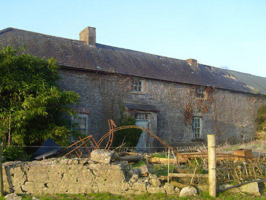 Hermitagestables, outbuilding · 162 yd
 Not shownKiln, corn-drying · 510 yd
 Furnace in HermitageFurnace · 547 yd
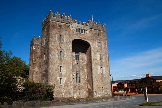 The Turret (in Ruins)Castle, unclassified · 615 yd
 Logalean Fort, HachuredFairy fort / earthen ringfort · 942 yd
 Castle ConnellRuins · 1707 yd
 Campus MapVisitor information · 3.0 mi
 Visitor CentreVisitor information · 3.0 mi
 Fountain SculptureHeritage attraction · 3.0 mi
 Old PumpHeritage attraction · 3.7 mi
 King's IslandIsland · 5.0 mi
 Saint John Paul IIMemorial · 5.6 mi
Other information
Photo: Credit not shown in the picture search · Rights wording not checked; contact us if this picture should be removed