
What is recorded here
In pasture, at the base of the valley, on the S side of the River Shannon. Not depicted on OS historic mapping. A fording point (LI001-001----) is located c. 100m to NE. Identified during archaeological testing (License No. 01E0319) which consisted of an advanced topsoil strip, within the way-leave corridor for the Castleconnell Sewerage Scheme (McCutcheon 2001). The feature was excavated (License No. 01E0319 ext.) in Area B and recorded as C5, a badly truncated keyhole-shaped drying kiln (2.46m E-W; 0.8m N-S; D 0.2m), which is presumed to be later in date than the other features (Collins 2001, 32). The neck of the linear flue (L 1.5m; Wth 0.42m) was defined by two flat stones set on edge and leading into a circular-shaped bowl (diam. 0.8m) (ibid). The way-leave and spoil-heaps were also inspected for artefacts. Several axe fragments were retrieved in this exercise, as well as most of the worked chert and flint (71 fragments of flint and 116 of chert were recovered). Artefact analysis and dating are in progress. There is no visible surface expression of the monument on Digital Globe aerial photography.
Compiled by: Alison McQueen and Vera Rahilly
Date of upload: 18 June 2020
The monument record does not grant public access. Check the route and ask the landowner before entering private land.
- What survives
- Recorded monument
Places near here
 Furnace in HermitageFurnace · 156 yd
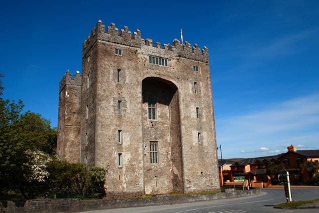 The Turret (in Ruins)Castle, unclassified · 328 yd
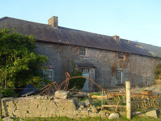 Hermitagestables, outbuilding · 404 yd
_-_geograph.org.uk_-_6978150.jpg?width=1280) Doonass Housecountry house · 415 yd
Doonass Housecountry house · 415 yd OutlinedFairy fort / earthen ringfort · 510 yd
 Castle ConnellRuins · 1323 yd
 Campus MapVisitor information · 3.1 mi
 Visitor CentreVisitor information · 3.2 mi
 Fountain SculptureHeritage attraction · 3.2 mi
 Old PumpHeritage attraction · 3.4 mi
 The Pollagh TrailNature reserve · 5.4 mi
 Graveyard in AbingtonGraveyard · 6.3 mi
Other information
Photo: Credit not shown in the picture search · Rights wording not checked; contact us if this picture should be removed