What is recorded here
According to Ó Danachair (1955, 215) in this townland was a well named 'Tobar Mhichíl ... now used to supply water to Athea ... an old man, born in 1816, stated that his grandfather used to make rounds at this well' (ibid.). There is no well marked on the OS maps in the location given by Ó Danachair and an extensive search of the area did not reveal an such well nor is there any local knowledge of its existence.
From the National Monuments Service (Archaeological Survey of Ireland) record LI034-003
The monument record does not grant public access. Check the route and ask the landowner before entering private land.
- What survives
- Recorded monument
Places near here
Photo credits
- National Inventory of Architectural Heritage
- jonleebotany, Wikimedia Commons · CC0
- Philip Halling, Geograph · CC BY-SA 2.0
- N Chadwick, Geograph · CC BY-SA 2.0
- No machine-readable author provided. Larsoner~commonswiki assumed (based on copyright claims)., Wikimedia Commons · Public domain
- Garry Dickinson, Wikimedia Commons · CC BY-SA 2.0
- Unknown author Unknown author, Wikimedia Commons · Public domain
- Borvan53, Wikimedia Commons · CC BY-SA 3.0
- Colin Park, Geograph · CC BY-SA 2.0
- Charles W Glynn, Wikimedia Commons · CC BY-SA 2.0
- P L Chadwick, Geograph · CC BY-SA 2.0
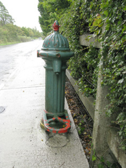 water pump1129 yd
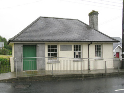 Athea Carnegie LibraryLibrary/archive · 1348 yd
 Lawson's Cypress1.7 mi
 John B. KeaneMemorial · 7.7 mi
 John B. KeaneMemorial · 8.2 mi
 Listowel Castle (in ruins)Castle, tower house · 8.2 mi
 Glin CastleCastle · 8.3 mi
 Lartigue MonorailMuseum · 8.3 mi
 Siege of Carrigafoyle CastleSiege · 12 mi
 Carrig IslandIsland · 12 mi
 Scattery IslandIsland · 15 mi
 Scattery Island Visitor CentreVisitor information · 15 mi
More archaeology and monuments in County Limerick · All of County Limerick
What do you know about this place?