
What is recorded here
Situated on low lying wet land. River Dungolman 45m to E, which forms the townland boundary with Calliaghstown (Rathconrath By.). A sub-circular shaped area (approx. diam. 45m N-S; 48m E-W) enclosed by an earthen bank from S-N-NE, and by field fences on its E and SE sides. Depicted on the 1837 OS Fair Plan map as an enclosure planted with trees, it appears that this possible monument has undergone a fair amount of modification/landscaping in the past. The interior rises to a natural round hump inside the bank in the E quadrant. Not depicted as an antiquity on any edition of the OS 6-inch map. Shown as a tree plantation on the 1838 ed. OS 6-inch map and as a polygonal-shaped field on the revised 1914 ed. OS 6-inch map. Could be the remains of a landscape feature such as a tree-plantation associated with Longfield House located 560m to S.
Compiled by: Frank Coyne and Caimin O'Brien
Date of upload: 14 September 2018
A local fairy fort (ringfort/rath); wider significance not recorded.
The monument record does not grant public access. Check the route and ask the landowner before entering private land.
- What survives
- Recorded monument
Places near here
 Man-made underground passage in Calliaghstown (rathconrath By.)Man-made underground passage · 1395 yd
 Field system in Ardnacrany NorthField system · 1601 yd
 Keel Bridgebridge · 1.1 mi
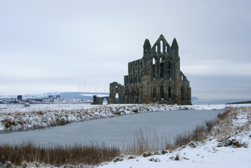 AbbeyReligious house, Carmelite friars · 1.1 mi
 Noughaval CemeteryArchaeological place · 2.0 mi
 CastleCastle, unclassified · 2.2 mi
 European BeechEuropean Beech · 3.0 mi
 Plary Monastery (in Ruins)Castle, tower house · 3.1 mi
 Guest ServicesVisitor information · 3.3 mi
 Craft WorkshopHeritage attraction · 3.3 mi
 Target WoodWood · 3.6 mi
 Newcastle WoodsForest · 3.8 mi
Other information
Photo: Credit not shown in the picture search · Rights wording not checked; contact us if this picture should be removed