What is recorded here
In rough grassland, on the designed landscape of Glynnwood House located 295m to S. Outline of roughly D-shaped area (approx. dims. 52m N-S x 40m E-W ) enclosed by a bank and external fosse with straight side at W visible on Digital Globe orthophoto taken 2011-13. Depicted as a post-1700 grove of trees on the 1837 ed. OS 6-inch map. May have been a ringfort that was landscaped as a post-1700 tree-ring.
Compiled by: Caimin O’Brien
Date of upload: 17 June 2020
The monument record does not grant public access. Check the route and ask the landowner before entering private land.
- What survives
- Recorded monument
Places near here
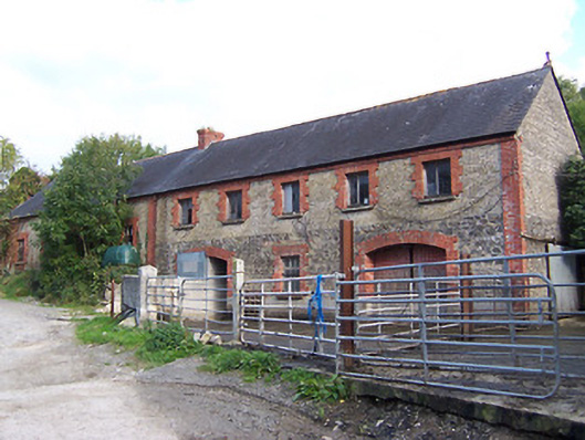 Glynnwood Houseoutbuilding · 322 yd
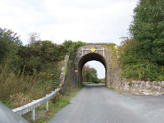 bridgebridge · 619 yd
 TullymagawlyBawn · 987 yd
 Partially indicatedEnclosure · 1538 yd
 Ecclesiastical enclosure in FassaghEcclesiastical enclosure · 1.2 mi
 Moydrum CastleCastle · 1.6 mi
 European ashEuropean ash · 3.5 mi
 Wren's IslandIslet · 3.6 mi
 Long IslandIsland · 3.8 mi
 Athlone Music MuseumMuseum · 4.0 mi
 1916 Centenery CommemorationMemorial · 4.0 mi