What is recorded here
The site encloses a hilltop (556ft. OD)south-west of Garristown village. There are extensive views westwards to Tara and east to the coast. Reputedly the site of Rath Esa which is mentioned in the Metrical Dindsenchus (Morris 1939, 179-89). The enclosure is oval in plan (int. dims 90m N-S; 82m E-W) and is defined by a counterscarp bank (Wth 2.5-3m; internal H 0.7m; external H 1.8m). There is an entrance in the S (Wth 2.5m). Ground drops steeply to east and north beyond the enclosure, more gently to south and west. Remains of a windmill (DU003-004002-), built in 1736 by Marie and Edward Walsh of Borranstown, cap the summit. It has been suggested that this enclosure is possibly contemporaneous with the windmill and was constructed to keep cattle away from the sails of the windmill as is the case at Skerries windmill (DU005-028----) (SMR File 05/10/1995).
Compiled by: Geraldine Stout
Updated by: Christine Baker
Revised by: Caimin O'Brien
Date of revised upload: 7 March 2023
A local fairy fort (ringfort/rath) known as Rath Esa, mentioned in the Metrical Dindsenchus, likely dates to the early medieval period and is associated with pre-Christian mythology and local legend. Its elevated position suggests strategic or ceremonial significance.
The monument record does not grant public access. Check the route and ask the landowner before entering private land.
- What survives
- Recorded monument
Places near here
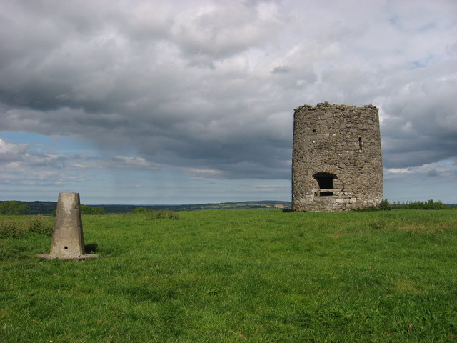 mill (wind)mill (wind) · 20 yd
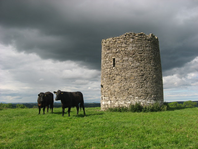 WindmillWindmill · 24 yd
 Ring-ditch in Newtown (balrothery West By., Garristown Ed)Ring-ditch · 613 yd
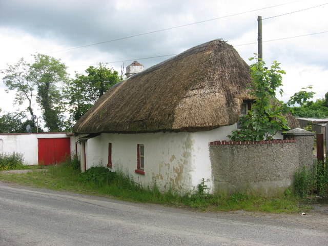 farm housefarm house · 716 yd
 Newtown GorseWood · 1207 yd
 Newtown HillMountain / peak · 1.2 mi
 PuddenhillHeritage attraction · 2.3 mi
 Cornstown HouseHeritage attraction · 2.6 mi
 The story of the milk standMemorial · 2.8 mi
 St. John's WellSpring · 2.8 mi
 Lemur WoodWood · 3.1 mi
 Bawn in KilleglandBawn · 3.7 mi