What is recorded here
Situated on a rise of marked by an OS trig. point (312ft/95m OD), overlooking Lough Ennell c. 480m to E. Depicted on the 1837 ed. OS 6-inch map as a square shaped field and not as an antiquity. Shown on the revised 1913 ed. OS 25-inch map as a rectangular-shaped tree-planted earthwork (approx. dims 31m NE-SW; 22m NW-SE). Monument is visible today as a faint rectangular-shaped cropmark on Digital Globe aerial photography, with a tree marking the NE corner. Possible moated site reused as a landscape feature, alternatively it may be the remains of a landscaped feature of post-1700 date.
Compiled by Alison McQueen, Vera Rahilly and Caimin O’Brien.
Date of upload: 24 September 2019
The monument record does not grant public access. Check the route and ask the landowner before entering private land.
- What survives
- Recorded monument
Places near here
 Ash IslandIslet · 600 yd
 Great IslandBastioned fort · 1026 yd
 Dysart IslandIsland · 1118 yd
 EnclosureEnclosure, large enclosure · 1161 yd
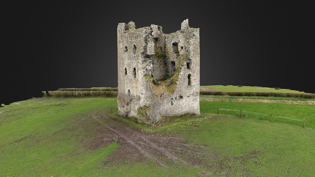 CastleCastle, ringwork · 1235 yd
 Bawn in Dysart (moyashel & Magheradernon By.)Bawn · 1295 yd
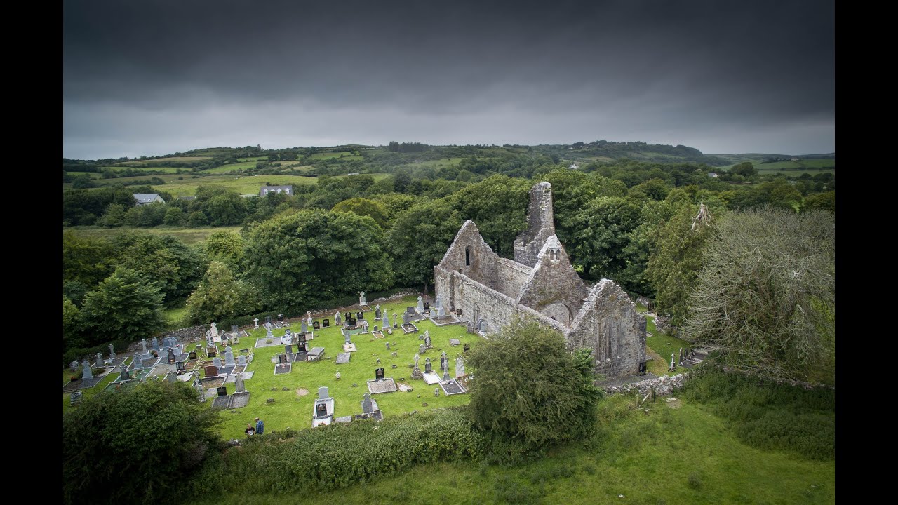
 Church (in Ruins)Church · 1344 yd
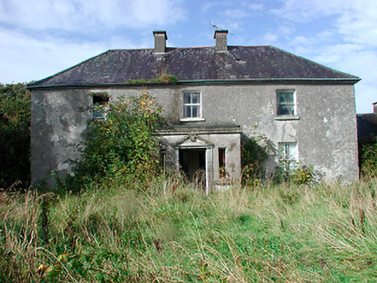 Kilcooley Housefarm house · 1629 yd
 Ancient Ring FortWood · 6.2 mi
 Ardan WoodWood · 8.2 mi
 Bonfire HillMountain / peak · 8.6 mi
 Kilmalady HillMountain / peak · 10.0 mi