What is recorded here
Listed as Dysart 2 and described by O'Sullivan (2004, 88-9) as 'Located on SW shore of Lough Ennell, in shallow (1m depth) water, 15m from shoreline (20-30m to original shoreline). Crannóg consists of a low, oval-shaped cairn (approx. diam. 35m; H 0.8m), located at the water’s edge (surrounded by 1m water prior to drainage) 200m NNE of Cróinis (WM025-150001-) and 180m SSE of Dún-na-Sgiath (WM025-145----) . It appears as a low, stony island, with an even profile and a gradual slope to the edge. In recent times, when the island was being planted with trees, a platform of radially laid planks was found at depth of 20-30cm below surface. This covered a compact area 20m in diameter. The crannóg is connected to the shoreline by a narrow, stony causeway, which is today surmounted by a modem concrete ramp'.
Compiled by: Caimin O'Brien based on details provided by Aidan O'Sullivan.
Date of upload: 9 March 2017
The monument record does not grant public access. Check the route and ask the landowner before entering private land.
- What survives
- Recorded monument
Places near here
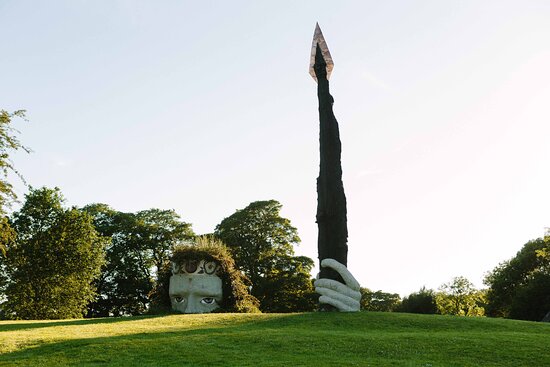 Hachured, Dun-na-SgiathFairy fort / earthen ringfort · 237 yd
 CastleCastle, tower house · 263 yd
 OutlinedCastle, unclassified · 583 yd
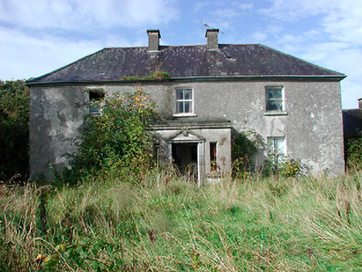 Kilcooley Housefarm house · 669 yd
 Dysart IslandIsland · 1233 yd
 Great IslandBastioned fort · 1392 yd
 Ash IslandIslet · 1589 yd
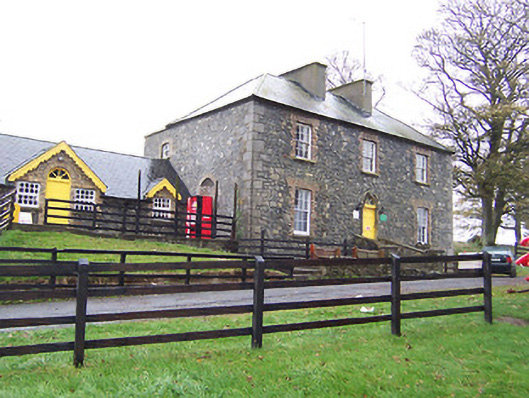 Lilliput Househouse · 1.0 mi
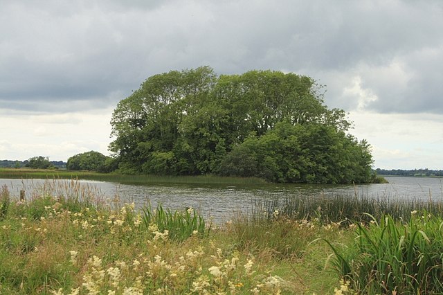 Cherry IslandWood · 1.1 mi
 Ardan WoodWood · 7.1 mi
 Bonfire HillMountain / peak · 7.5 mi
 Kilmalady HillMountain / peak · 9.1 mi