What is recorded here
Garrynakilla burial ground is an oval-shaped area 21.7m x 17.3m with an entrance gap through the stone wall to the ENE. The interior is flat and has been ploughed. A local tradition records a cross-inscribed stone (DG096-007002-) in the NNW part of the graveyard but it no longer survives. There is, however, a natural erratic in this part of the graveyard.
The above description was derived from the 'Archaeological Survey of County Donegal. A description of the field antiquities of the County from the Mesolithic Period to the 17th century.' Compiled by: Brian Lacey with Eamon Cody, Claire Cotter, Judy Cuppage, Noel Dunne, Vincent Hurley, Celie O'Rahilly, Paul Walsh and Seán Ó Nualláin (Lifford: Donegal County Council, 1983). In certain instances the entries have been revised and updated.
Date of upload: 22 September 2008
A portal dolmen; likely dating to the Neolithic or early Bronze Age. Its location within a defined burial ground suggests it was part of a ritual or funerary landscape, though specific significance remains unclear due to limited recorded details.
The monument record does not grant public access. Check the route and ask the landowner before entering private land.
- What survives
- Recorded monument
Places near here
 Doire Leathan Coastal Promontory FortPromontory fort, coastal · 432 yd
 Mass-rock in Doire LeathanMass-rock · 733 yd
 IndicatedChurch · 917 yd
 Cliffs at TeelinPublicly named cliff or headland · 985 yd
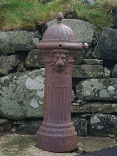 water pumpwater pump · 990 yd
 Dundawoona Point / Pointe an DúinHeadland · 1750 yd
 CroaghmuckrosMountain / peak · 2.1 mi
 TraloarBeach / strand · 2.2 mi
 International Appalachian Trail Ulster-IrelandWalking route · 2.5 mi
 TrabaneBeach / strand · 2.5 mi
 Slieve League SE TopMountain / peak · 2.8 mi
 CastleCastle, unclassified · 3.2 mi