
What is recorded here
Situated on a low natural rise of ground in undulating countryside. Burial (WM009-045----) 130m to NE, Dervotstown Castle 330m to SSE, ringforts (WM009-022---- / WM009-021---) 440m and 500m to W and WNW respectively. A road which marks the townland boundary with Kilrush Upper is 90m to N, while the field fence which marks the boundary between with Ballinlough townland is 150m to W. Present remains consist of a large slightly raised sub-circular shaped area (approx. diam. 44m NE-SW) enclosed by two substantial earthen banks separated by a wide deep intervening fosse and a wide external fosse. There is an entrance gap (Wth 1.8m) in the inner bank at E with a causeway across the inner fosse. The outer bank has been disturbed at E, and no trace of a gap or causeway is visible. There is a shallow natural shallow depression in the SE quadrant of the interior.
Compiled by: Frank Coyne and Caimin O'Brien
Date of upload: 16 May 2017
A local fairy fort (ringfort/rath); wider significance not recorded.
The monument record does not grant public access. Check the route and ask the landowner before entering private land.
- What survives
- Recorded monument
Places near here
 Dervotstown CastleCastle · 418 yd
 Persian WalnutPersian Walnut · 1182 yd
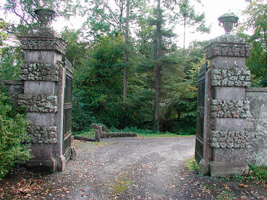 Ballinlough Castledemesne walls/gates/railings · 1273 yd
 European YewEuropean Yew · 1326 yd
 Bawn in Heathstown (delvin By.)Bawn · 1481 yd
 Enclosure in Heathstown (delvin By.)Enclosure · 1552 yd
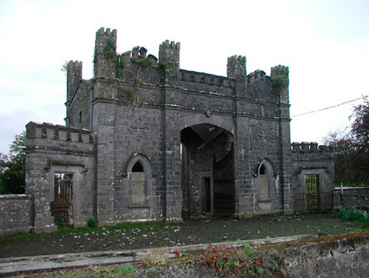 Killua Castlegate lodge · 1571 yd
 Enclosure in GreenanstownEnclosure · 1.8 mi
 Drewstown LittleMountain / peak · 2.5 mi
 FraineMountain / peak · 3.8 mi
 Causey FarmHeritage attraction · 4.1 mi
 FarmaphobiaHeritage attraction · 4.1 mi
Other information
Photo: Credit not shown in the picture search · Rights wording not checked; contact us if this picture should be removed