
What is recorded here
This well is not marked on any edition of the OS maps.
Situation and Description: This well consists of a crescent-shaped depression within which is the well. According to the landowner, this well is associated with St Brigid. The top of the well is mortared and below this is drystone walling.
The above description is derived from C. Toal, ‘North Kerry Archaeological Survey’. Dingle. Brandon in association with FAS Training and Employment Authority (1995), no. 922. In certain instances the entries have been revised and updated in the light of recent research.
Date of upload: 3 August 2013
This holy well is associated with St Brigid and is traditionally linked to healing and fertility. Local folklore suggests that the well's waters were once used in rituals to ensure good harvests and to cure ailments, particularly those related to women's health.
The monument record does not grant public access. Check the route and ask the landowner before entering private land.
- What survives
- Recorded monument
Places near here
 Billeragh Househouse · 1448 yd
 Enclosure in Islandganniv NorthEnclosure · 1738 yd
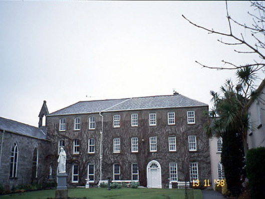 Holy Cross Conventhouse · 1.2 mi
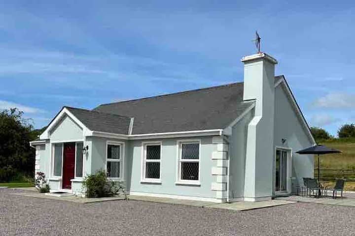 Enclosure in BallyduhigEnclosure · 1.2 mi
 Listowel Castle (in ruins)Castle, tower house · 1.2 mi
 Kerry Writers' MuseumMuseum · 1.3 mi
 Bryan MacMahonMemorial · 1.3 mi
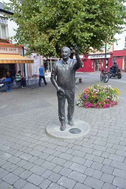 John B. KeaneMemorial · 1.3 mi
 Lartigue MonorailMuseum · 1.4 mi
 CastleCastle, tower house · 2.8 mi
 Kilflynn Nature ReserveNature reserve · 7.6 mi
 KnockanoreMountain / peak · 7.6 mi
Other information
Photo: Credit not shown in the picture search · Rights wording not checked; contact us if this picture should be removed