What is recorded here
Located on a low natural rise of ground in undulating countryside. Irregular shaped area (diam. 48m E-W) defined by a poorly preserved scarp (H 0.3m) with gap (Wth 5m) at NE. This appears to have been a natural hillock the base of which has been scarped possibly as a landscape feature such as a tree-ring. No monument is depicted in this area on the 1883 edition of the OS 6-inch map. The revised 1908 ed. OS 25-inch map depicts a circular grove of trees and not an antiquity.
The above description is derived from the published 'Archaeological Inventory of County Offaly' (Dublin: Stationery Office, 1997). In certain instances the entries have been revised and updated in the light of recent research.
Date of upload/revision: 04 January 2012
The monument record does not grant public access. Check the route and ask the landowner before entering private land.
- What survives
- Recorded monument
Places near here
 Enclosure in BrickanaghEnclosure · 1098 yd
 Enclosure in Emmel WestEnclosure · 1237 yd
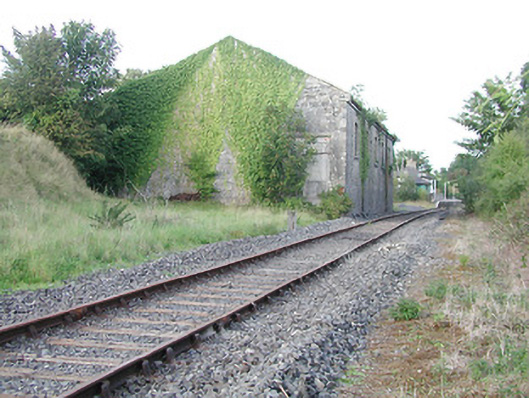 Cloghjordan Railway Stationstore/warehouse · 1413 yd
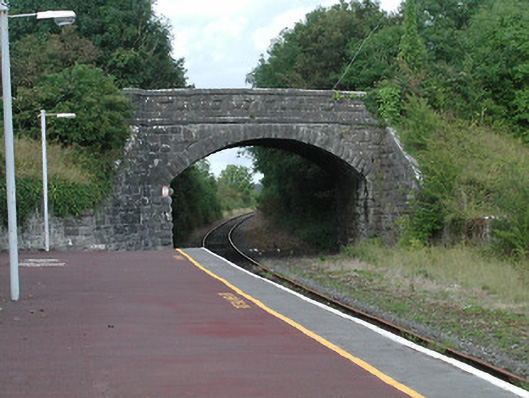 bridgebridge · 1601 yd
 Thomas MacDonagh Heritage CentreMuseum · 1.0 mi
 MacDonagh HouseMemorial · 1.0 mi
 CastleCastle, tower house · 1.9 mi
 Knockanacree WoodForest · 2.0 mi
 Castle in ruinsCastle, unclassified · 2.0 mi
 Ballycapple WoodForest · 2.4 mi
 James Devaney MemorialMemorial · 4.6 mi
 BenduffMountain / peak · 6.5 mi