
What is recorded here
Situated on a low ridge running NW-SE, in pasture. Depicted on the 1837 ed. OS 6-inch map as a long pentagonal-shaped tree-lined enclosure. Not depicted on the 1910 ed. OS 25-inch map. Monument is not visible today on Digital Globe aerial photography.
Compiled by Alison McQueen, Vera Rahilly and Caimin O’Brien.
Date of upload: 29 November 2019
The monument record does not grant public access. Check the route and ask the landowner before entering private land.
- What survives
- Recorded monument
Places near here
 IndicatedFairy fort / earthen ringfort · 433 yd
 Holy well in HallHoly well · 717 yd
 Bladderry Bridgebridge · 789 yd
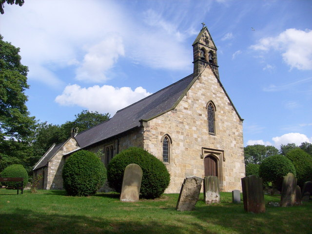 Church in Clonaltra WestChurch · 955 yd
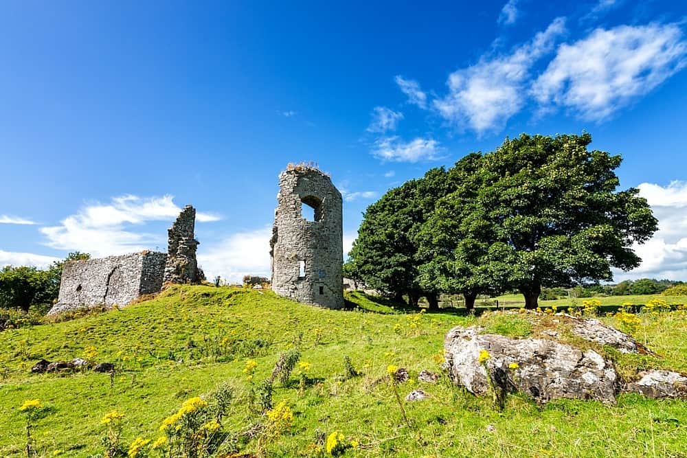 CastleCastle, unclassified · 1.3 mi
 Esker CastleCastle, tower house · 1.6 mi
 European ashEuropean ash · 2.1 mi
 Dún na SíMuseum · 4.1 mi
 The Bob Traynor GalleryGallery · 4.2 mi
 Charles BianconiMemorial · 4.2 mi
 Endrim HillMountain / peak · 4.3 mi
 Long IslandIsland · 5.2 mi
Other information
Photo: Credit not shown in the picture search · Rights wording not checked; contact us if this picture should be removed