What is recorded here
Situated at S end of the village of Bruff overlooking the Morningstar River to S. Church of Ireland church stands on site of medieval church (LI032-115003-) in E quadrant of L-shaped graveyard (approx. dims. 57m N-S x 55m E-W) enclosed by a post-1700 stone wall with entrance gate at S. Graveyard has been extended to the W where it is enclosed by a high stone wall, old graveyard boundary on W side visible as a low ridge running N-S.
Compiled by: Caimin O'Brien
Date of upload: 20 June 2019
A local ancient tomb; wider significance not recorded.
The monument record does not grant public access. Check the route and ask the landowner before entering private land.
- What survives
- Recorded monument
Places near here
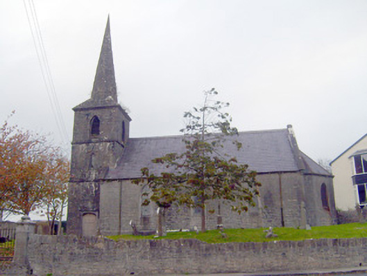 Bruff Churchchurch/chapel · 26 yd
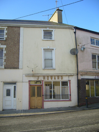 J. Howardhouse · 77 yd
 Castle (in ruins)Castle, unclassified · 98 yd
 Burial in BruffBurial · 588 yd
 Burial GroundGraveyard · 776 yd
 Ballygrennan Castle (in ruins)Castle, tower house · 1325 yd
 Glen BogForest · 2.1 mi
 Grange Stone CircleArchaeological place · 2.7 mi
 KnockainyMountain / peak · 3.0 mi
 Flat cemetery in Knockainy WestFlat cemetery · 3.9 mi
 Monasteranenagh AbbeyHeritage attraction · 5.6 mi
 St Patrick's WellSpring · 6.8 mi