What is recorded here
Situated on a poorly drained S-facing slope of rising ground in an upland area. Depicted on the 1840 ed. OS 6-inch map as a small circular field boundary running off a farmhouse immediately to the NE. Not visible at ground level. A possible garden feature of post-1700 date associated with the farmhouse as depicted on the 1840 ed. OS 6-inch map. Not depicted as an antiquity on any ed. OS 6-inch maps. Vol. 1 - North Tipperary' compiled by Jean Farrelly and Caimin O'Brien (Dublin: Stationery Office, 2002).
From the National Monuments Service (Archaeological Survey of Ireland) record TN020-023
The monument record does not grant public access. Check the route and ask the landowner before entering private land.
- What survives
- Recorded monument
Places near here
Photo credits
- National Inventory of Architectural Heritage
- P L Chadwick, Geograph · CC BY-SA 2.0
- David P Howard, Geograph · CC BY-SA 2.0
- P L Chadwick, Wikimedia Commons · CC BY-SA 2.0
- JP, Geograph · CC BY-SA 2.0
- Mike Searle, Wikimedia Commons · CC BY-SA 2.0
- P L Chadwick, Geograph · Creative Commons Attribution-ShareAlike 2.0
- Deadstar, Wikimedia Commons · CC BY-SA 3.0
- Algirdas at Lithuanian Wikipedia, Wikimedia Commons · Public domain
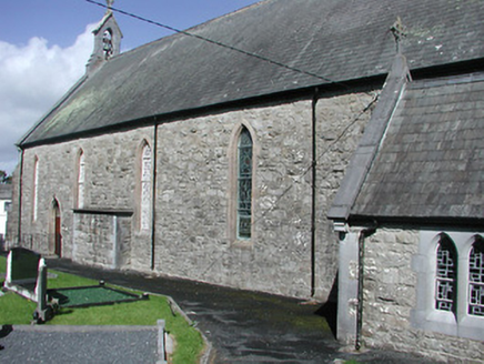 Catholic Church of the Blessed Virgin MaryChurch/chapel · 1.7 mi
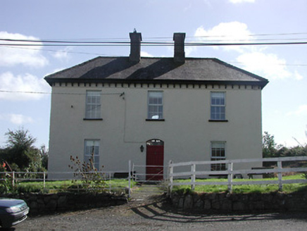 Dower HouseRic barracks · 1.7 mi
 Laghtea HillMountain / peak · 2.7 mi
 Garrykennedy ForestWood · 3.1 mi
 Garrykennedy Castle (in ruins)Castle, tower house · 3.2 mi
,_Monsea_-_geograph.org.uk_-_2656738.jpg/250px-The_ruined_Monsea_Church_(2),_Monsea_-_geograph.org.uk_-_2656738.jpg "Photo: P L Chadwick, Wikimedia Commons · CC BY-SA 2.0") Church, (Site of) ChurchChurch · 3.7 mi
Church, (Site of) ChurchChurch · 3.7 mi Crow IslandIslet · 4.1 mi
 Dromineer CastleCastle · 5.0 mi
 Kilmore Church (in Ruins), GraveyardGraveyard · 5.4 mi
 Brian Boru Heritage CentreVisitor information · 5.9 mi
 Inishcaltra or Holy IslandIslet · 6.3 mi
 Pedunculate Oak6.3 mi
More archaeology and monuments in County Tipperary · All of County Tipperary
What do you know about this place?