
What is recorded here
19th century C of I church stands possibly on site of medieval church (WM002-028---) in centre of rectangular-shaped graveyard (dims. 51m ESE-WNW x 70m NNE-SSW) enclosed by a stone wall of post medieval date entered through gateway located at centre of W wall. Motte and bailey castle (WM002-027----) located 110m to NNW. Graveyard contains memorials dating from the 18th century to modern times. Graveyard extensions to S and E.
Compiled by: Caimin O'Brien
Date of upload: 17 June 2015
From the National Monuments Service (Archaeological Survey of Ireland) record WM002-028001
Places near here
Picture notes
- National Inventory of Architectural Heritage
- Computer-made picture. It does not show this monument.
- Computer-made picture. It does not show this playground.
- Richard Webb, Geograph · CC BY-SA 2.0
- Charles T. G. Clarke, Wikimedia Commons · CC BY-SA 4.0
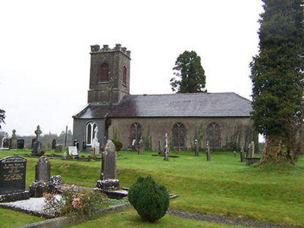 Saint Mary's Church (Street)Church/chapel · 10 yd
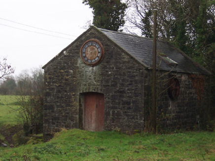 mill (water)219 yd
 bridge226 yd
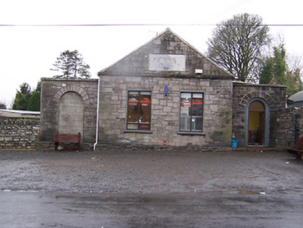 Street InstituteBuilding misc · 328 yd
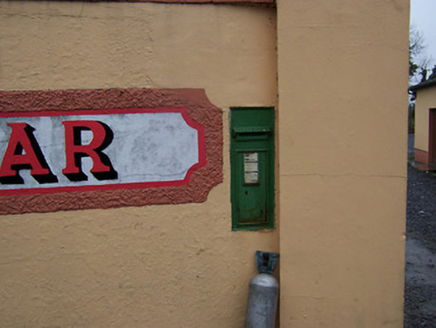 post box357 yd
 Daramona HouseDemesne walls/gates/railings · 472 yd
 EnclosureEnclosure, large enclosure · 722 ydComputer-made picture
 BarrowBarrow, ring-barrow · 1419 ydComputer-made picture
 Streete CommunityChildren's playground · 1.2 miComputer-made picture
 CastleCastle, motte · 1.3 mi
 Coolamber CastleHouse, fortified house · 2.1 mi
 Children's playground6.3 miComputer-made picture
More archaeology and monuments in County Westmeath · All of County Westmeath

What do you know about this place?Tap to add a comment or ask a question