
What is recorded here
Carmelite friary founded (WM016-019----) c. 1291 by Robert Dillon, Lord of Drumrany (Gwynn & Hadcock 1970, 286). This site consisted today of a post-medieval roughly rectangular-shaped graveyard (int. dims. 19.2m N-S; 26.7m E-W) with entrance gate and stile at W. Inside the graveyard are the remains of a seventeenth…
Read the whole record
From the National Monuments Service (Archaeological Survey of Ireland) record WM016-019001
Places near here
Photo credits
- Maker not stated on source page, www.alamy.com
- National Inventory of Architectural Heritage
- Maker not stated on source page, www.pinterest.com
- Photographer not named for this aerial, www.westmeathindependent.ie
- Maker not stated on source page, in.pinterest.com
- Maker not stated on source page, en.wikipedia.org
- Maker not stated on source page, commons.wikimedia.org
- Maker not stated on source page, br.pinterest.com
- Malene Thyssen, Wikimedia Commons · CC BY-SA 3.0
- Maker not stated on source page, uk.pinterest.com
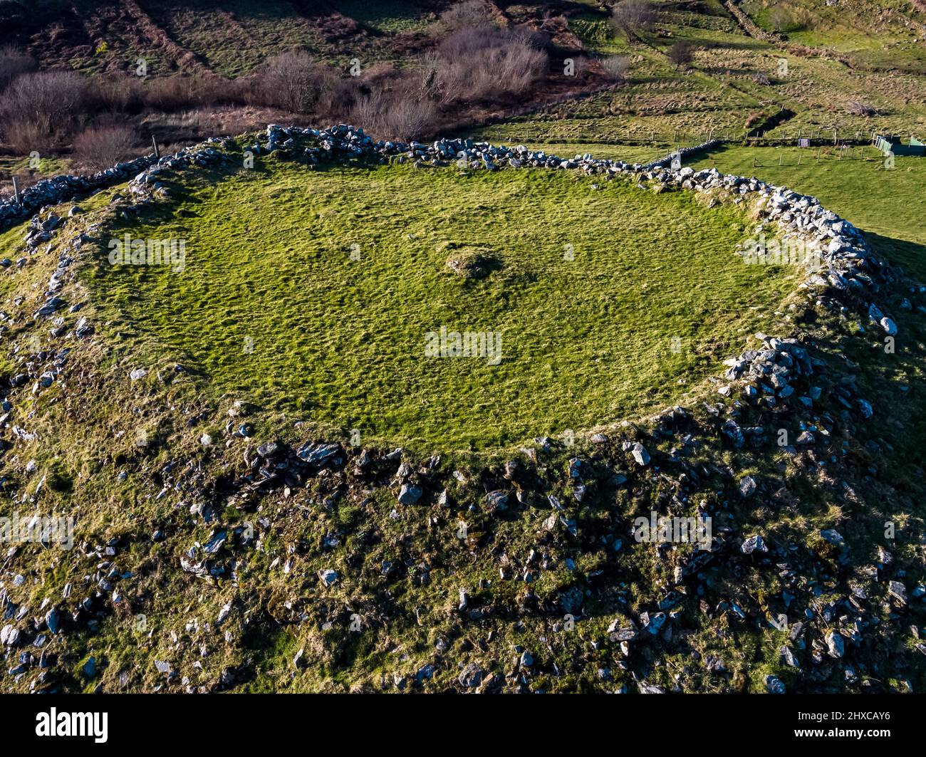 Fairy fort / ringfort in Ardnacrany NorthFairy fort / ringfort · 433 yd
Explorer Tom This third Ardnacrany ringfort has a dating profile that just says 'low maintenance, near the river.' It’s had some…
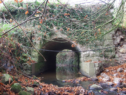 Keel BridgeBridge · 1202 yd
Explorer Tom Keel Bridge in Keel hosted a fake royal visit that nobody can disprove or find a photo of. The stone faces look like…
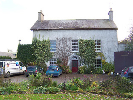 Noughaval HouseHouse · 1632 yd
Explorer Tom Noughaval House is suspicious of every postman who ever passed by, convinced they’re all spies trying to steal its old…
 Church (in Ruins)Church · 1.0 mi
Explorer Tom Church in Noughaval is proud of its one remaining wall section, which stands tall while the rest of the building has…
 Joe Fox Park, TangGAA ground · 1.1 mi
 Fairy fort / earthen ringfort in Rath UpperFairy fort / earthen ringfort · 1.1 mi
Explorer Tom Fairy fort / earthen ringfort in Rath Upper is picking on the wind because the wind won't stop blowing through its…
 Holy well in NoughavalHoly well · 1.1 mi
Explorer Tom Holy well in Noughaval had an escape plan involving a cart and a very suspicious amount of cheese that never quite…
 Earthwork in CorbrackEarthwork · 1.3 mi
Explorer Tom Earthwork in Corbrack would teach history by showing you where nothing is anymore. It was on an old map but now it’s…
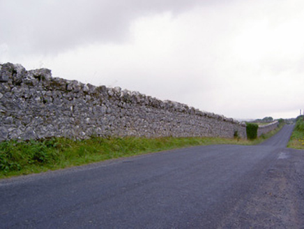 demesne walls/gates/railings1.4 mi
Explorer Tom Demesne walls in Keel, County Longford were built so tall that I think they can still hear the deer screaming from two…
 CastleCastle, unclassified · 1.5 mi
Explorer Tom Castle in Clooncullen is hiding out because there’s a tall tale about a hidden tunnel straight to the local pub. The…
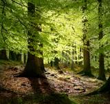 European Beech1.9 mi
Explorer Tom European Beech in County Longford is doing a bit of a one-man show with its leaves. I reckon it's been writing its own…
 Mapped cemeteryCemetery · 2.6 mi
Explorer Tom Mapped cemetery is another one of those spots where the map makers clearly fell asleep and left the pen in the middle…
More archaeology and monuments in County Westmeath · All of County Westmeath

What do you know about this place?Tap to add a comment or ask a question