What is recorded here
Potential monument identified from aerial photographs (GSI S 554/3). Present remains consist of a D-shaped area (diam. 33m E-W) defined by a scarp from W through N to E with modern drain and field fence forming boundary at S. There is a slight rise in the centre of the platform which may have been a house site. Possibly a raised platform for a house of unknown antiquity or a small raised platform associated with land reclamation.
The above description is derived from the published 'Archaeological Inventory of County Offaly' (Dublin: Stationery Office, 1997). In certain instances the entries have been revised and updated in the light of recent research.
Date of upload/revision: 04 January 2012
The monument record does not grant public access. Check the route and ask the landowner before entering private land.
- What survives
- Recorded monument
Places near here
 Partially hachuredCastle, motte · 128 yd
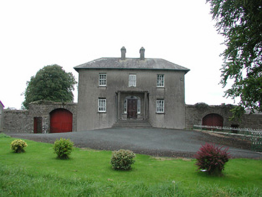 Danganreagh Housefarm house · 331 yd
 Enclosure in AghodyEnclosure · 620 yd
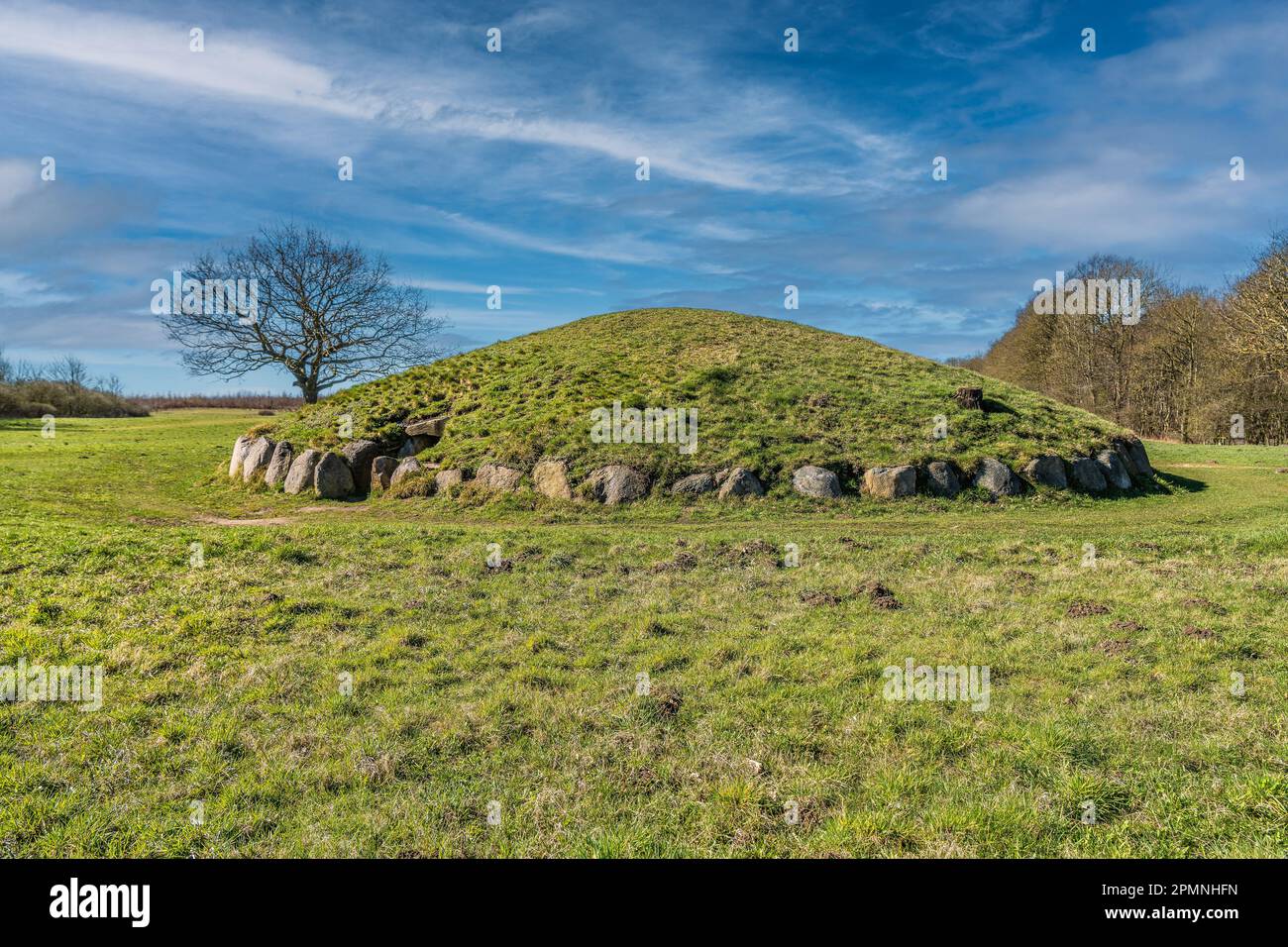 Burial mound in BallybrittBurial mound · 937 yd
 RoadRoad, hollow-way · 1340 yd
 IndicatedCastle, motte · 1684 yd
 Golden Grove HillMountain / peak · 1.9 mi
 Golden Grove WoodWood · 1.9 mi
 Millennium GardenMemorial · 2.2 mi
 Leap CastleCastle · 2.4 mi
 Eagle HillMountain / peak · 2.8 mi
 European ashEuropean ash · 2.8 mi