
What is recorded here
Attached four-bay double-height outbuilding, c.1825, with elliptical-headed carriageway to centre, and seven-bay two-storey rear (south-west) elevation. Extensively renovated. Pitched roof with replacement artificial slate, clay ridge tiles, and replacement iron rainwater goods on rendered eaves having iron ties. Unpainted replacement cement rendered walls over random rubble stone construction retaining sections of unpainted roughcast to rear (south-west) elevation. Square-headed window openings with cut-limestone sills (no sills to rear (south-west) elevation), and two-over-two timber sash windows retaining one six-over-six timber sash windows to rear (south-west) elevation (one replacement uPVC casement window to rear (west) elevation). Square-headed door opening with timber boarded door. Elliptical-headed carriageway to centre with timber boarded double doors having iron guards/spike finials (timber beams to underside of carriageway). Road fronted with concrete footpath to front. (ii) Attached two-bay single-storey outbuilding, c.1825, to north with square-headed carriageway to left. Reroofed, c.1975. Extensively renovated. Pitched roof with replacement corrugated-iron, c.1975, iron ridge, rendered coping, and iron rainwater goods on rendered eaves having iron brackets. Unpainted replacement cement rendered walls over random rubble stone construction. Square-headed window opening with rendered surround, and tongue-and-groove timber panel fitting. Square-headed carriageway to left with timber boarded double doors.
A middle-size outbuilding range of utilitarian appearance forming a pleasant feature in Mill Street. Despite having undergone an extensive renovation programme in the late twentieth century the retention of a number of important early features significantly enhances the character of the site in the street scene.
This does not grant access. Most recorded buildings are privately owned; view them only from public ground unless the owner allows entry.
Places near here
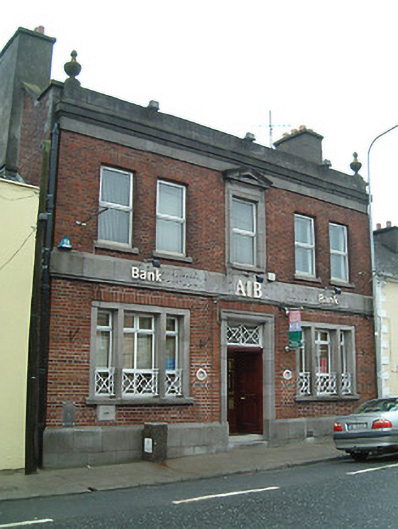 Allied Irish Bankbank/financial institution · 40 yd
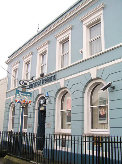 Bank of Irelandbank/financial institution · 86 yd
 TurretBawn · 463 yd
 CastleCastle, tower house · 468 yd
 Enclosure in UrlingfordEnclosure · 601 yd
 St. Patricks WellHoly well · 1271 yd
 John HelyMemorial · 2.2 mi
 DelaneyMemorial · 2.3 mi
 Clomantagh HillMountain / peak · 3.4 mi
 KilcooleyForest · 3.4 mi
 Kilcooly AbbeyHeritage attraction · 3.5 mi
 Serpentine WoodForest · 3.6 mi
Other information
Photo: National Inventory of Architectural Heritage · Website use allowed for educational or private purposes with source credit