
What is recorded here
Oultined is a Rawleystown bawn in County Limerick where a fortified house stood inside a large angled courtyard. The Rawleys built or held it around the time of James I, while later owners reused its stones and reduced it to fragments. Its angle towers and thick court wall still emerge in aerial views, preserving the shape of a household that outlived its masters.
The castle (LI023-080----) and bawn was described in 1826 as 'an ancient building consisting of a bawn 180 feet [55m] long and 120 feet [36.5m] wide, the wall of which is twelve feet [3.6m] high and four feet [1.2m] thick. Within the bawn is a strong house of lime and stone, three stories high, and eighty feet long by thirty in breadth; at each of the four angles is a square tower with port holes; and it is conjectured from its stone window frames and flankers, to have been built in the reign of James I' (Fitzgerald 1826, 304-5). I
n 1840 the Ordnance Survey recorded that 'there was a castle [LI023-080----] here built about the time of James I. by the Rawleys. It fell into decay and became the property of the Croker family, who built a splendid house out of its ruins about 75 years ago. This house was afterwards sold to one of the labourers employed in building it for £200, and he immediately destroyed it, leaving it the ruin it is today' (OSNB Cahercorney parish).
Rawleystown Court described by Westropp (1906-7, 186) as following; 'The enclosure is about 180 feet [55m] by 120 feet [36.5m]; it has a square turret with loopholes at each corner, and walls 12 feet [3.6m] high and 4 feet [1.2m] thick. Within is a strong house, 80 feet [24m] by 30 feet [9m], of three stories. The two Down Survey maps show it as a battlemented peel tower in a square court, with turrets at each angle'.
Described in 1943 as following; 'This is the ruin of a fortified dwelling. All that now remains is one gable wall and fragments of an enclosing court-yard wall. No architectural features survive which would indicate the date of erection' (O'Kelly 1942-3, 183). The outline of the bawn or courtyard wall is visible today on Digital Globe aerial photographs.
The 1654-56 Civil Survey of Limerick recorded that on the lands of Redmond Rawly, Margarett Rawly & Ellan Rawly there stood 'a Ruinous Castle, 20 Cabbins & a Mil Seat' (Simington 1938, 108). The 1654-7 Down Survey map of Cahircorney parish shows a tower house like structure standing in the centre of a bawn with four angle towers (NLI, MS 718). This castle and bawn are also depicted in a similar style on the Down Survey map of Small Barony (ibid.).
See attached Down Survey images showing the castle and bawn of Rawleystown.
Compiled by: Caimin O'Brien
Date of upload: 27 February 2020
The monument record does not grant public access. Check the route and ask the landowner before entering private land.
- What survives
- Recorded monument
Places near here
 Dotted outlineFairy fort / stone ringfort · 397 yd
 Enclosure in BallingoolaEnclosure · 985 yd
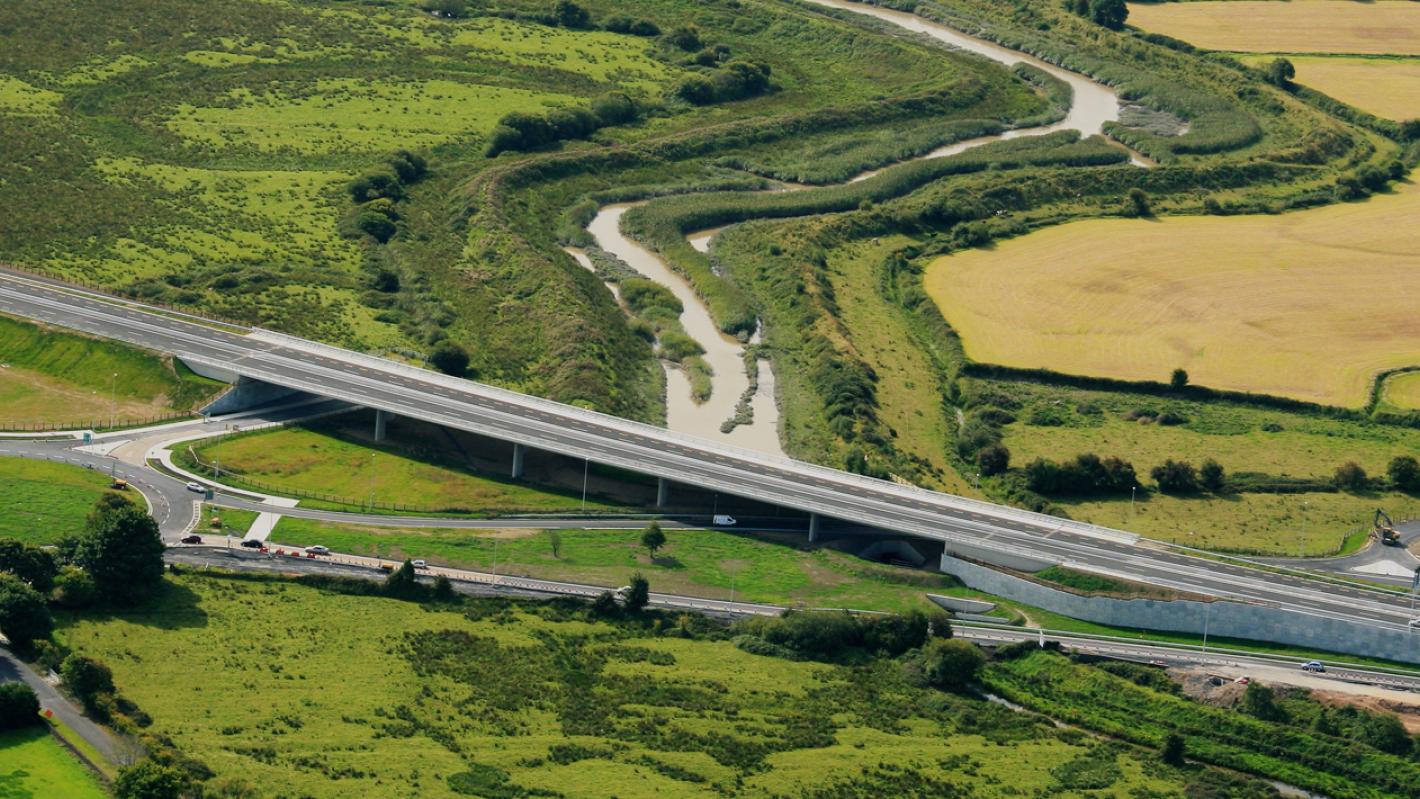 RoadRoad, road/trackway · 1032 yd
 Longford Bridgebridge · 1187 yd
 The SpectaclesVisitor information · 1453 yd
 Lough Gur Heritage CentreVisitor information · 1507 yd
 Pedunculate OakPedunculate Oak · 1.0 mi
 Black Castle (Site of)Castle, unclassified · 1.4 mi
 Black Castle (in ruins)Castle, tower house · 1.4 mi
 Grange Stone CircleArchaeological place · 1.9 mi
 Lough GurVisitor information · 1.9 mi
 Banoge's WellSpring · 2.0 mi
Other information
Photo: Credit not shown in the picture search · Rights wording not checked; contact us if this picture should be removed