
What is recorded here
Detached twenty-bay two-storey former map store, built 1891, with central two-bay pedimented breakfront housing carriage arch. Yard to rear enclosed by outbuildings including two-storey range to east, single-storey block to north and two-storey range to west with further single-storey range further west. Now in use as offices. Main block has pitched natural slate roofs with black clay ridge tiles and raking walls with moulded limestone coping rising above roof-line to breakfront and both entrance bays. Moulded cast-iron guttering supported on moulded limestone ashlar eaves course and cast-iron downpipes. Uncoursed rock-faced calp limestone ashlar walls with tooled limestone ashlar quoins, plinth course and frieze over first floor windows. Segmental-headed window openings with tooled block-and-start limestone surrounds, sills and dropped keystones with continuous impost moulding to first floor and original multiple-pane cast-iron windows. Pediment to carriage arch breakfront has moulded limestone surround broken to base by round-headed opening with timber louvres. Painted clock-face sits between two first floor windows, with flush limestone surround. Round-headed carriage arch opening has tooled block-and-start limestone surround and painted masonry wheel-guards. Two segmental-headed door openings to centre of each wing formed in tooled and block-and-start limestone surrounds with stepped and dropped keystone, double-leaf timber pannelled doors with bolection mouldings and multiple-pane cast-iron overlight. Doors open onto four granite steps with cast-iron bootscrapers. Carriage arch opens into yard to rear with replacement steel-sheeted roofs and replacement metal rainwater goods to east and south ranges, natural slate with cast-iron rainwater goods to west ranges. Roughcast rendered walls to south and east ranges, smooth rendered to west ranges. Square-headed window openings with granite sills and original timber sliding sash windows throughout, those to ground floors having iron grilles. Square-headed door openings with sheeted timber doors throughout.
Occupying the site of a previous outbuilding to Mountjoy House, this purpose-built map store, designed by J. Howard Pentland, may have taken inspiration from the former stable yard, giving its present layout. As the protection of its records was key to the work of the survey, the building was designed to be fire proof. Known by the Ordnance Survey as the Clock Tower, the building exhibits an array of quality masonry skills and retains its original cast-iron windows. The rear elevation mirrors the front elevation, while the outbuildings to the rear yard are more utilitarian in appearance and may be remnants of the yard of Mountjoy House. The main building and the associated buildings to the rear form part of a wider collection of impressive buildings on the site, representing architectural styles spanning three centuries.
This does not grant access. Most recorded buildings are privately owned; view them only from public ground unless the owner allows entry.
Places near here
 Mountjoy BarrackHouse, 16th/17th century · 97 yd
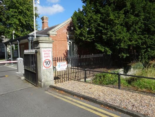 Ordnance Survey Irelandha ha · 101 yd
 Bunchloch (Foundation Stone)Monument · 526 yd
 National Famine WayWalking route · 715 yd
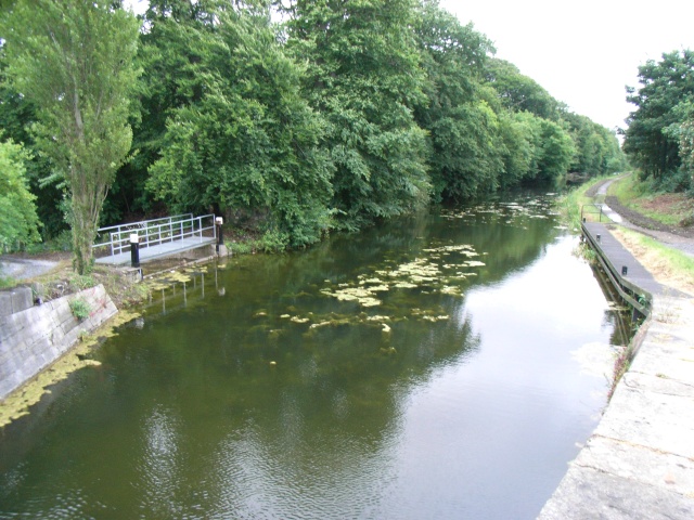 The Royal Canal WayWalking route · 719 yd
 Oldtown WoodWood · 771 yd
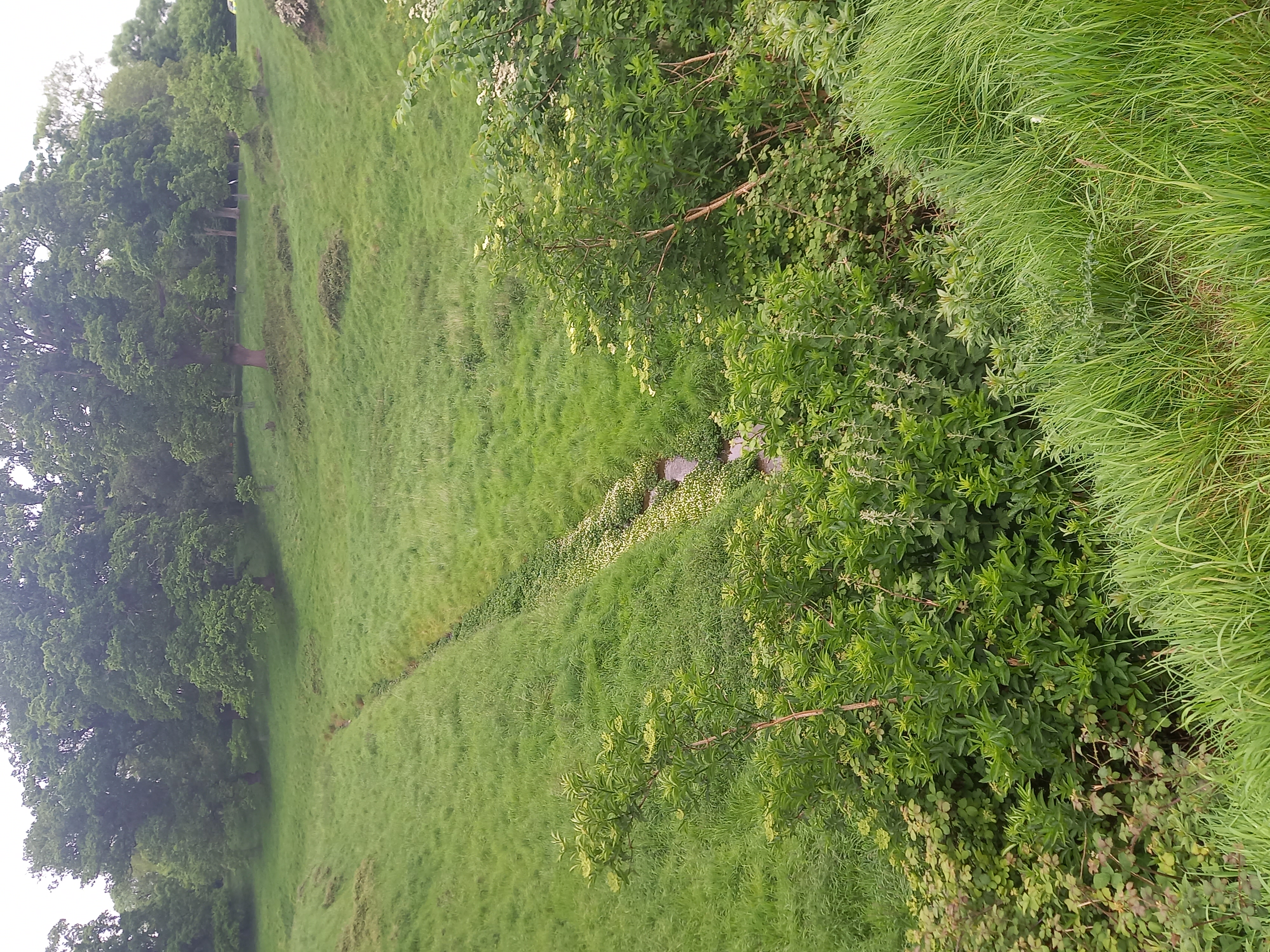 Furry GlenWood · 816 yd
 ExcavationExcavation, miscellaneous · 1250 yd
 Graveyard in Palmerstown LowerGraveyard · 1361 yd
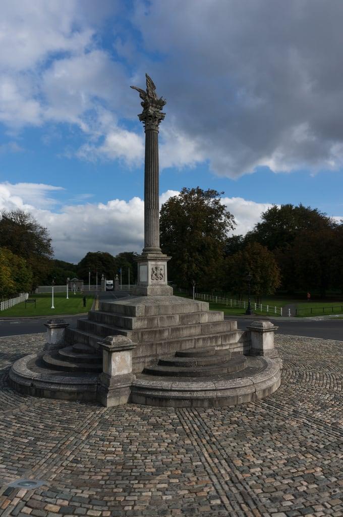 Martin Savage Memorial MonumentMonument · 1436 yd
 Castleknock CastleCastle · 1712 yd
 Rose Cottageworker's house · 357 yd
Other information
Photo: National Inventory of Architectural Heritage · Website use allowed for educational or private purposes with source credit