What is recorded here
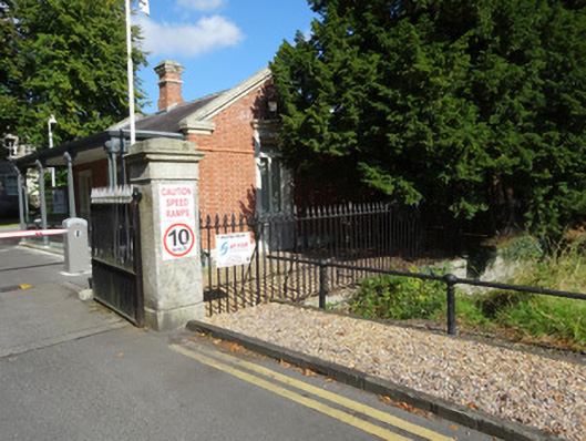
Boundary walls and ha-ha ditch, built c.1725, encompassing former Mountjoy House, now Ordnance Survey of Ireland complex. Battered random-coursed rubble retaining wall with outer ditch surrounding oval enclosure. Localised areas of collapse. Wall supports variety of plant life. Entrance to complex from Ordnance Survey Road via stone gate piers and entrance gates of c.1840. Square-plan cut-stone granite piers supporting wrought-iron gates with cast-iron spearhead finials. Pedestrian gate to south with flat-panelled cast-iron gate pier. Wrought-iron railings on granite plinth walls to north and south of entrance gate..
The walls, gateway and sunken ha-ha which surround the site of the Ordnance Survey of Ireland are a notable feature within Phoenix Park. They form the boundary of the oval enclosure to the former house of Luke Gardiner, a Keeper of the Park and developer of much of the Georgian north inner city. The site was assigned for use as a cavalry barracks c.1780. Although there is some localised collapse of stonework, the wall and ditch, by-and-large, are in very good condition.
This does not grant access. Most recorded buildings are privately owned; view them only from public ground unless the owner allows entry.
Places near here
 Mountjoy BarrackHouse, 16th/17th century · 110 yd
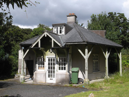 Rose Cottageworker's house · 280 yd
 Bunchloch (Foundation Stone)Monument · 605 yd
 Oldtown WoodWood · 676 yd
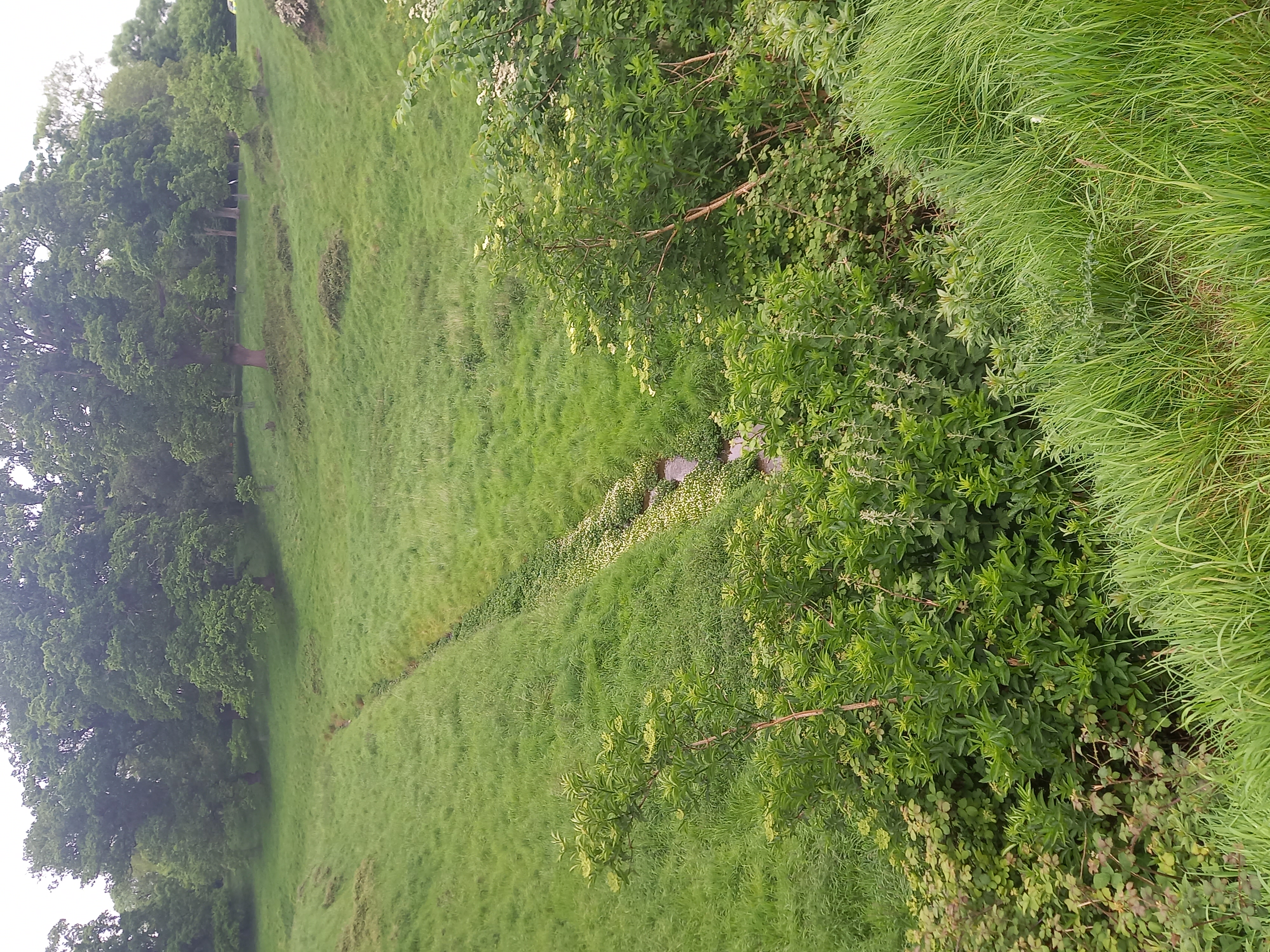 Furry GlenWood · 762 yd
 National Famine WayWalking route · 795 yd
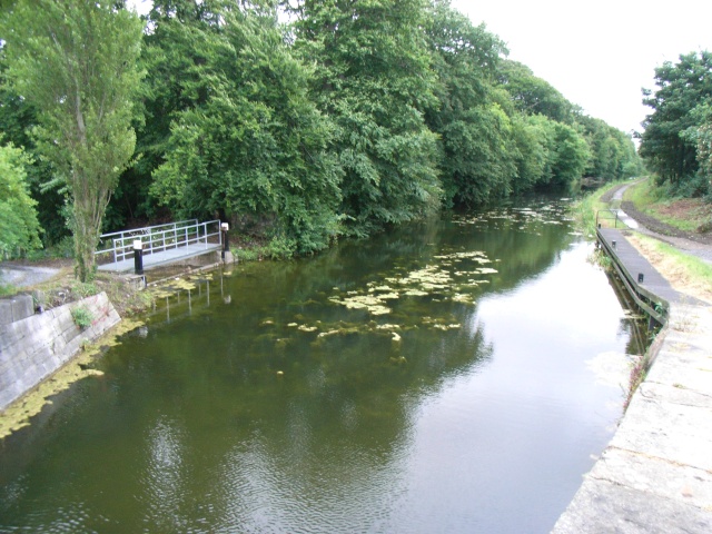 The Royal Canal WayWalking route · 800 yd
 ExcavationExcavation, miscellaneous · 1323 yd
 Graveyard in Palmerstown LowerGraveyard · 1349 yd
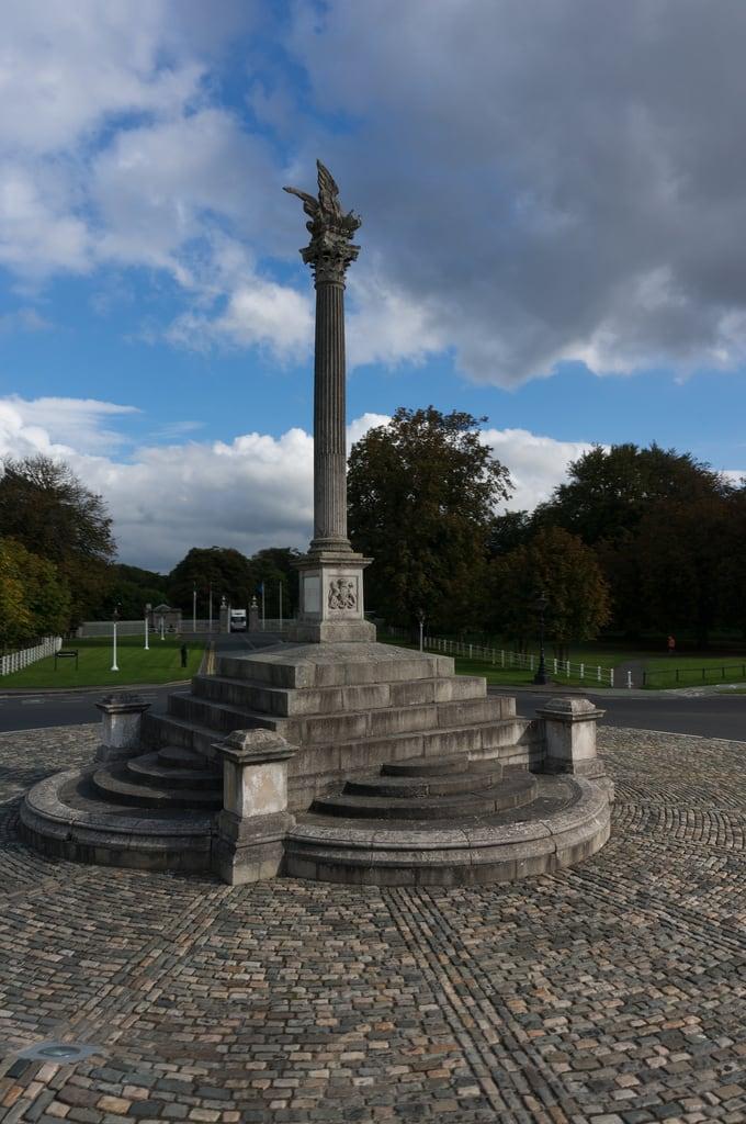 Martin Savage Memorial MonumentMonument · 1468 yd
 Castleknock CastleCastle · 1.0 mi
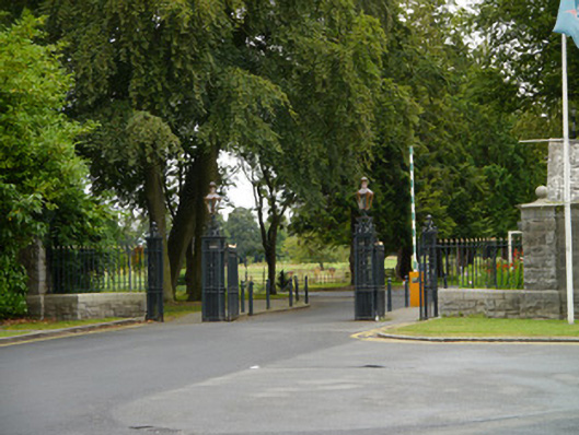 Farmleighgates/railings/walls · 489 yd
Other information
Photo: National Inventory of Architectural Heritage · Website use allowed for educational or private purposes with source credit