
What is recorded here
Freestanding limestone milestone/boundary marker\ordnance stone (on rectangular-plan) having pyramidal top, erected c. 1810. Now built into modern boundary wall. Located adjacent to entrance to Greencastle Fort (see 40810007), to the north of the fort, and located along the south side of the main road into Greencastle from the north-east.
A nicely carved limestone artefact or item of street furniture, which is an interesting addition to the roadscape to the north-east of the centre of Greencastle. Its location adjacent to an entrance to Greencastle Fort (see 40810007) suggests that it may have been an ordnance marker (mark a particular ‘range’ from the fort for artillery\rifle purposes) associated with this former coastal battery. Such features are relatively common features found around barrack complexes in Ireland. It was probably moved to its current location from another location close by. However, it may have been originally a milestone, and, as such, it would represent a subtle reminder of the great age of coaching in Ireland during the late eighteenth and the first half of the nineteenth century. This modest piece of street furniture adds a subtle historic veneer to its location, and is a worthy addition to the built heritage of the town.
From the Buildings of Ireland (National Inventory of Architectural Heritage) record 40810021
This does not grant access. Most recorded buildings are privately owned; view them only from public ground unless the owner allows entry.
Places near here
Photo credits
- National Inventory of Architectural Heritage
- Michael Dibb, Wikimedia Commons · CC BY-SA 2.0
- Corinna Schleiffer, Wikimedia Commons · CC BY-SA 2.0
- Kenneth Allen, Geograph · CC BY-SA 2.0
- Rossographer, Geograph · CC BY-SA 2.0
- Patrick Mackie, Geograph · CC BY-SA 2.0
- N Chadwick, Geograph · CC BY-SA 2.0
- Kenneth Allen, Wikimedia Commons · CC BY-SA 2.0
- N Chadwick, Wikimedia Commons · CC BY-SA 2.0
- Kay Atherton, Wikimedia Commons · CC BY-SA 2.0
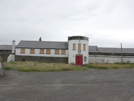 Greencastle FortBattery, barracks · 81 yd
_-_geograph.org.uk_-_5506767.jpg/250px-Grencastle_Fort_(2)_-_geograph.org.uk_-_5506767.jpg "Photo: Michael Dibb, Wikimedia Commons · CC BY-SA 2.0") Greencastle Martello FortCastle · 82 yd
Greencastle Martello FortCastle · 82 yd Greencastle / Northburgh CastleCastle, Anglo-Norman masonry castle · 160 yd
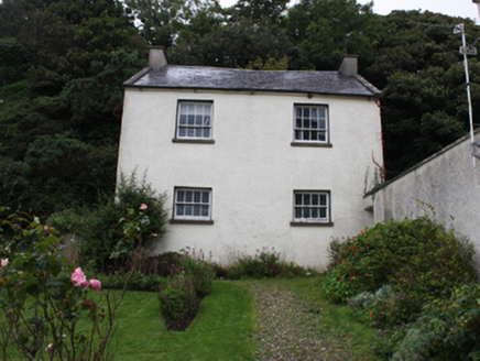 Manor HouseCoach house · 235 yd
 Inishowen Maritime Museum and PlanetariumMuseum · 973 yd
 Martello tower on magilligan point in Doaghs LowerMartello Tower on Magilligan Point · 1.0 mi
 White StrandBeach / strand · 1.5 mi
 CrockaulinMountain / peak · 2.0 mi
 StrooveOfficial bathing water · 2.3 mi
 Dunagree PointHeadland · 2.4 mi
 Cliffs, Inishowen HeadPublicly named cliff or headland · 2.7 mi
 Port a Dorais Cave and Natural DoorSea cave and natural arch · 2.8 mi
More historic places in County Donegal · All of County Donegal
What do you know about this place?