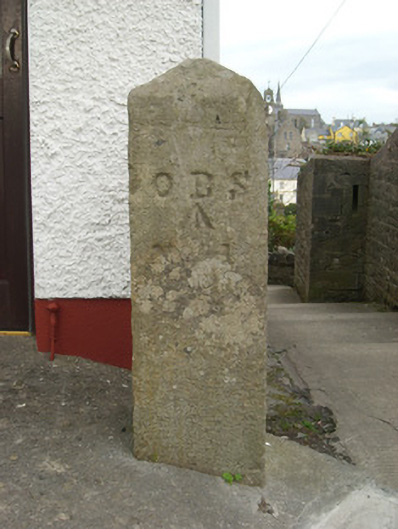
What is recorded here
Cut stone post on square-plan having pyramidal-head, erected c. 1835, having Ordnance Survey benchmark and incised letter. Carved from granite (?) with incised lettering ‘O B S’ and ‘No. 1’ with incised benchmark between to the south face. Located adjacent to flight of steps leading down to Westport, and adjacent to the west of the remains of The Rock Barracks (40852077). Located to the south of Ballyshannon town centre.
This simple artefact of street furniture is an interesting addition to the streetscape of Ballyshannon. The incised benchmark and lettering suggests that it was originally erected by the Ordnance Survey, which published the first edition of the six-inch map series for County Donegal in 1836. It is unusual in that it is a freestanding post as benchmarks were much more commonly incised into the corners of buildings such as churches and bridges etc. Such benchmarks are also known as ‘sappers marks’. However, it may also be an ordnance boundary post associated with the adjacent barracks (40852077). It is an interesting and well-preserved example of street furniture that has survived in a changing area of the town, as shown by the modern housing developments to the south and south-east. It is of technical and scientific interest as evidence of the Ordnance Survey mapping of Ireland in the 1830s, and is a subtle addition to the built heritage of Ballyshannon.
This does not grant access. Most recorded buildings are privately owned; view them only from public ground unless the owner allows entry.
Places near here
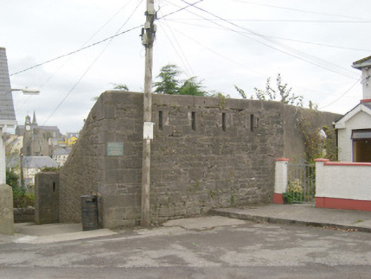 Ballyshannon Infantry Barracksbarracks · 92 yd
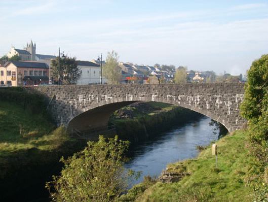 bridgebridge · 141 yd
 CastleCastle, unclassified · 228 yd
 Rory GallagherMemorial · 250 yd
 St Anne's Church GraveyardGraveyard · 465 yd
 Mullanashee fortBastioned fort · 527 yd
 Standing stone in Townparks (ballyshannon Ed)Standing stone · 555 yd
 Castle in ruinsCastle, unclassified · 1.6 mi
 Wardtown StrandBeach / strand · 2.0 mi
 Tullan StrandBeach / strand · 2.3 mi
 Cliffs by BundoranPublicly named cliff or headland · 3.1 mi
 Dark Cliffs at KilbarronPublicly named cliff or headland · 3.3 mi
Other information
Photo: National Inventory of Architectural Heritage · Website use allowed for educational or private purposes with source credit