What is recorded here
Olivers Stone is a standing stone in County Cork, Ireland, still reported by local information to be upright though hidden inside heavy afforestation. The forest has grown around the place until the stone became a rumor more often than a landmark. A person could walk past the exact spot and never know they touched the old boundary of human memory.
Inaccessible due to heavy afforestation. According to local information, stone still standing.
The above description is derived from the published 'Archaeological Inventory of County Cork. Volume 3: Mid Cork' (Dublin: Stationery Office, 1997). In certain instances the entries have been revised and updated in the light of recent research.
Date of upload/revision: 14 January 2009
Likely dating to the Bronze Age, this standing stone may have had ritual or territorial significance. Local folklore sometimes associates such stones with legendary or historical figures, though specific traditions for this site are not recorded.
The monument record does not grant public access. Check the route and ask the landowner before entering private land.
- What survives
- Recorded monument
Places near here
 Rock HillMountain / peak · 450 yd
 Castle (Site of)Castle, Anglo-Norman masonry castle · 1453 yd
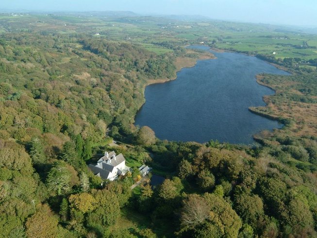 LissardFairy fort / earthen ringfort · 1588 yd
 Lyradane MountainMountain / peak · 1752 yd
 Mound in Lissard (barretts By.)Mound · 1.3 mi
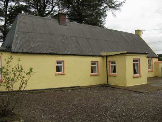 farm housefarm house · 1.7 mi
 Saint Michael's Churchchurch/chapel · 2.0 mi
 Castle Barrett (in Ruins)Castle, Anglo-Norman masonry castle · 3.1 mi
 St John's WellSpring · 3.2 mi
 Pairc Ath Na hEornaMemorial · 4.0 mi
 Graveyard in KilmonaGraveyard · 4.1 mi
 New TipperaryVisitor information · 5.3 mi