What is recorded here
'Old Windmill' depicted on the 1838 ed. OS 6-inch map, annotated as 'Windmill (in Ruins)' on current edition. No surface remains visible of windmill on Digital Globe aerial photograph. The annotation of the windmill as an 'Old' structure in 1838 suggests that this mill may have been built prior to the 18th century.
Compiled by: Caimin O'Brien
Date of upload: 6 November 2018
The monument record does not grant public access. Check the route and ask the landowner before entering private land.
- What survives
- Recorded monument
Places near here
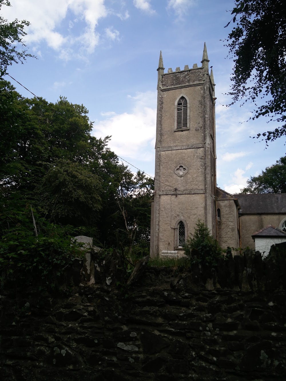 Church in HortlandChurch · 613 yd
 MoatCastle, motte · 657 yd
 water pumpwater pump · 1312 yd
 Ovidstown RathEnclosure · 1705 yd
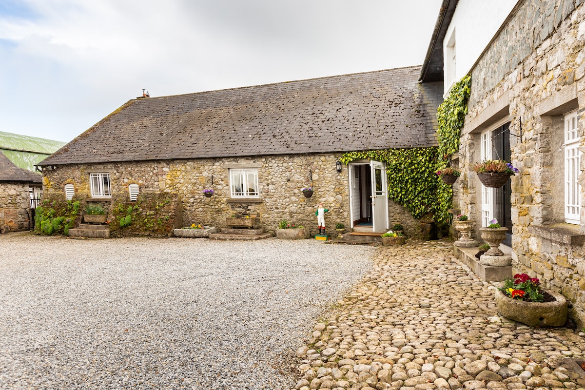 Enclosure in BallykeelanEnclosure · 1.1 mi
 The Grill ShackHeritage attraction · 1.4 mi
 9/11 MemorialMemorial · 2.1 mi
 Donadea Forest ParkVisitor information · 2.3 mi
 Donadea CastleCastle, tower house · 2.3 mi
 Loughtown CovertWood · 3.4 mi
 Old Bog Road made famous by Teresa Bryton 1868-1943Memorial · 3.5 mi
 European ashEuropean ash · 4.0 mi