What is recorded here
In an area of gently undulating rough pasture. A small, rectangular, earthen platform (dims. L 15m E-W; Wth 12m) is enclosed by a deep, broad fosse (Wth. 7m; D. 2m). It is incorporated into the S-side of a much larger sub-circular area (max. dims. L c. 110m E-W; Wth c. 85m) which is defined by a scarp (H 1m). Murphy and Holton (1999, 104-6) interpret their aerial photograph of the site as showing, 'a moated site, surrounded by a much larger circular moated enclosure', however this morphology would be atypical of moated sites. Visible on a 2005 aerial photograph (OSi Orthophoto).
Compiled by: Gearóid Conroy
Date of upload: 10 June 2011
This monument is subject to a preservation order made under the National Monuments Acts 1930 to 2014 (PO no. 1/1977).
The monument record does not grant public access. Check the route and ask the landowner before entering private land.
- What survives
- Recorded monument
Places near here
 Enclosure in KilbrideEnclosure · 1115 yd
 water pumpwater pump · 1720 yd
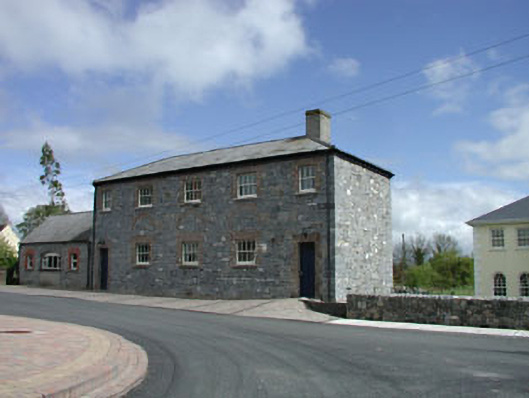 Newtown National Schoolschool · 1.1 mi
 MoatCastle, motte · 1.3 mi
 The Grill ShackHeritage attraction · 2.5 mi
 9/11 MemorialMemorial · 2.5 mi
 Donadea Forest ParkVisitor information · 2.6 mi
 Donadea CastleCastle, tower house · 2.7 mi
 Mass was there in Penal TimesMemorial · 2.9 mi
 Loughtown CovertWood · 3.2 mi
 European ashEuropean ash · 3.2 mi
Other information
Photo: Credit not shown in the picture search · Rights wording not checked; contact us if this picture should be removed