
What is recorded here
At the W end of a pasture ridge with commanding views to N, S and W. A large, approximately circular area (diams. 99m E-W; 92m N-S) is defined by a faint inner earthen bank N-E which is reduced to a scarp elsewhere (H 2m), and by a broad, U-shaped, outer fosse (Wth 6.3-7.9m; D 0.3-1.6m). There are two possible entrances; at the NE and E, each marked more by the shallow nature of the fosse there rather than by causeways proper. The interior rises slightly towards the centre. Visible on a 2005 aerial photograph (OSi Orthophoto) which shows the perimeter and the S-half of the interior as being overgrown.
Compiled by: Gearóid Conroy
Date of upload: 10 June 2011
Ovidstown Rath is a large, likely early-medieval ringfort, characterized by a faint inner earthen bank and scarp, situated on a prominent pasture ridge. Local tradition may associate it with the Ovidstown name, though specific folklore is not recorded.
The monument record does not grant public access. Check the route and ask the landowner before entering private land.
- What survives
- Recorded monument
Places near here
 water pumpwater pump · 428 yd
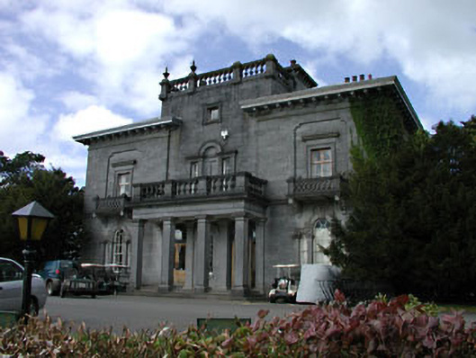 Knockanally Housecountry house · 1008 yd
 Enclosure in KilbrideEnclosure · 1018 yd
 MoatCastle, motte · 1416 yd
 The Grill ShackHeritage attraction · 2.3 mi
 Cloncurry GraveyardHeritage attraction · 2.4 mi
 Cloncurry MoatCastle, motte · 2.4 mi
 Old Bog Road made famous by Teresa Bryton 1868-1943Memorial · 2.5 mi
 9/11 MemorialMemorial · 3.0 mi
 European ashEuropean ash · 3.1 mi
 Loughtown CovertWood · 4.0 mi
Other information
Photo: Credit not shown in the picture search · Rights wording not checked; contact us if this picture should be removed