What is recorded here
Situated on the S face of a prominent rocky knoll. Chapel site (WM013-088----) located 460m to S. Depicted on the 1838 ed. OS six inch map as a complex of fields and small rectilinear enclosures annotated as ‘Old Town’. The OS field name books (No. 49, 29) recorded that 'in the centre of the townland of Tevrin a good many houses now in ruins. It is therefore called the old town'.
An area of linear banks and foundations of rectangular shaped houses defined by grass-covered earth and stone banks covering an area approx. 3 hectares in size. These earthworks represent the remains of a clustered settlement annotated as 'Old Town' on the 1838 ed. OS 6-inch map. These earthworks are clearly visible on Digital Globe aerial photograph. The remains of a possible sunken way of medieval date can be seen running roughly E-W on the S edge of the earthwork complex.
Compiled by: Frank Coyne and Caimin O'Brien
Date of upload: 23 July 2018
The monument record does not grant public access. Check the route and ask the landowner before entering private land.
- What survives
- Recorded monument
Places near here
 Chapel in ruinsChapel · 521 yd
 Partially hachuredFairy fort / earthen ringfort · 537 yd
 Hachured, RathmoreFairy fort / earthen ringfort · 634 yd
 Saint Joseph's Catholic Churchchurch/chapel · 698 yd
 OutlinedCastle, unclassified · 1279 yd
 Site of Fennor CastleCastle, tower house · 1.2 mi
 GinkgoGinkgo · 1.4 mi
 KnockeyonMountain / peak · 5.4 mi
 The FurzeForest · 5.8 mi
 Kells HillMountain / peak · 8.7 mi
 Croppies' GraveMemorial · 12 mi
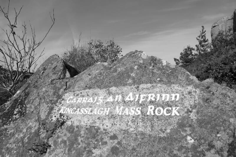 Mass-rock in TevrinMass-rock · 666 yd